for our customers
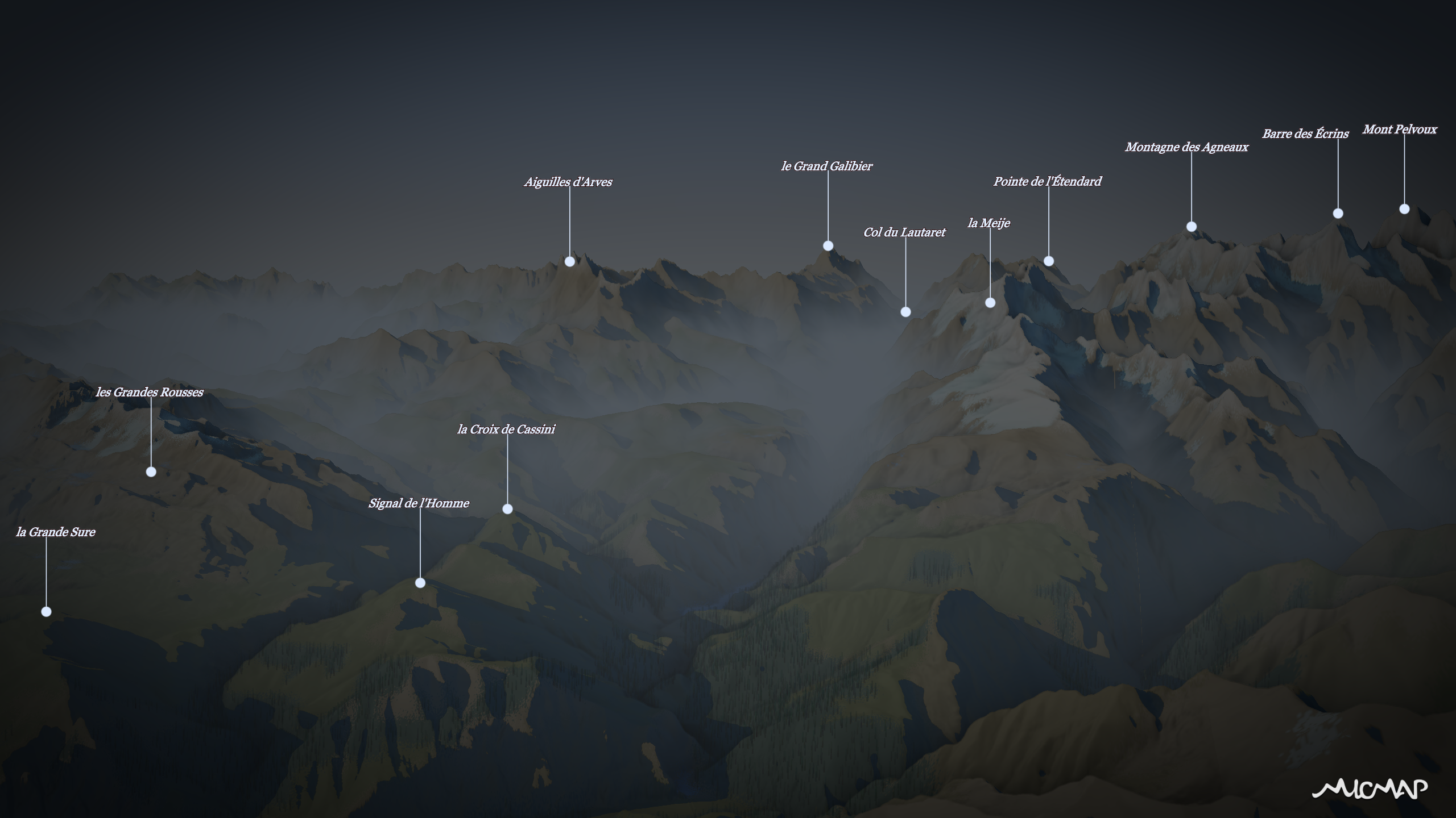
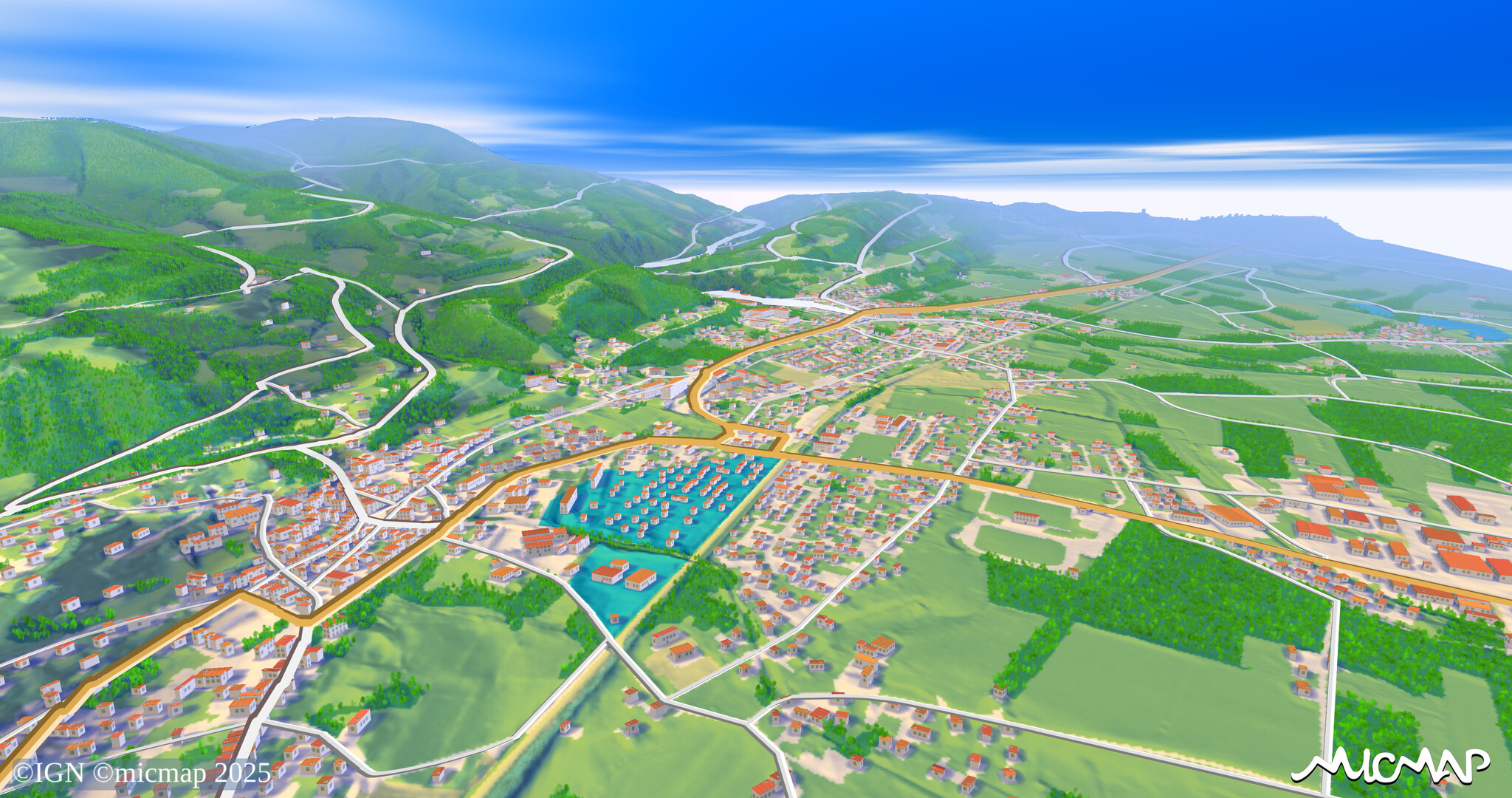
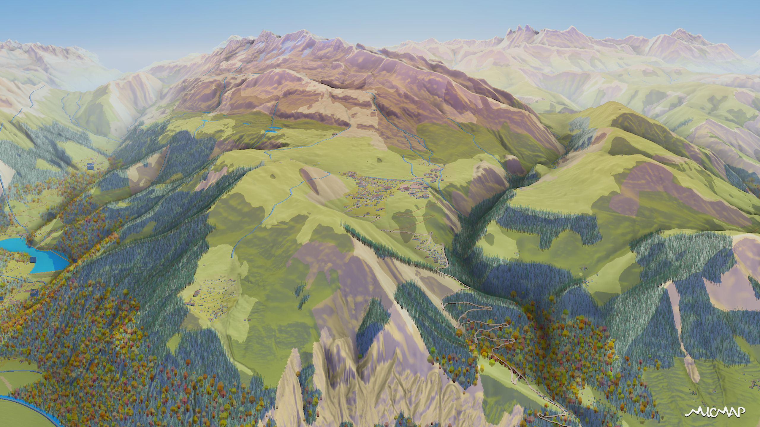
Les Portes du Mont-Blanc
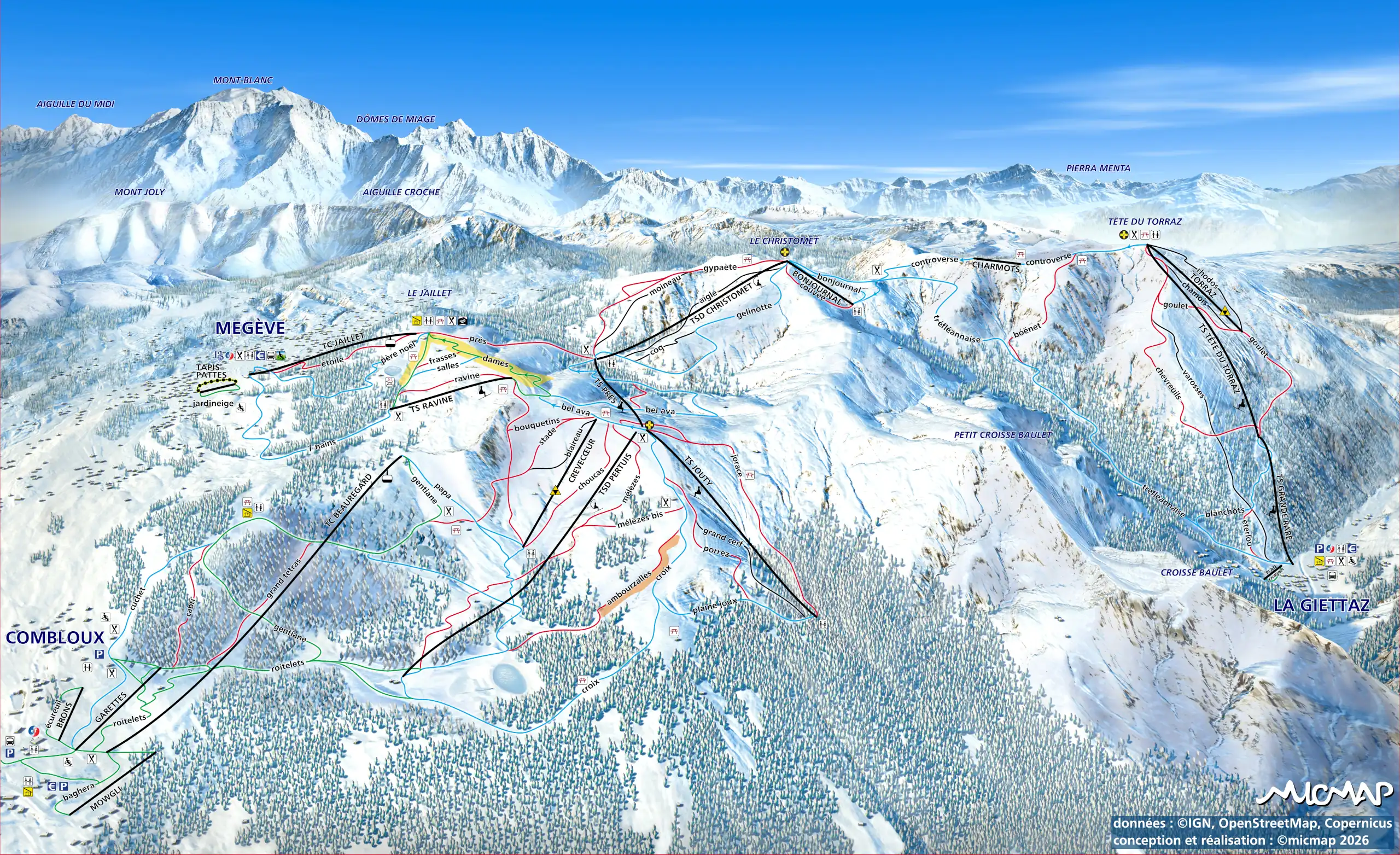
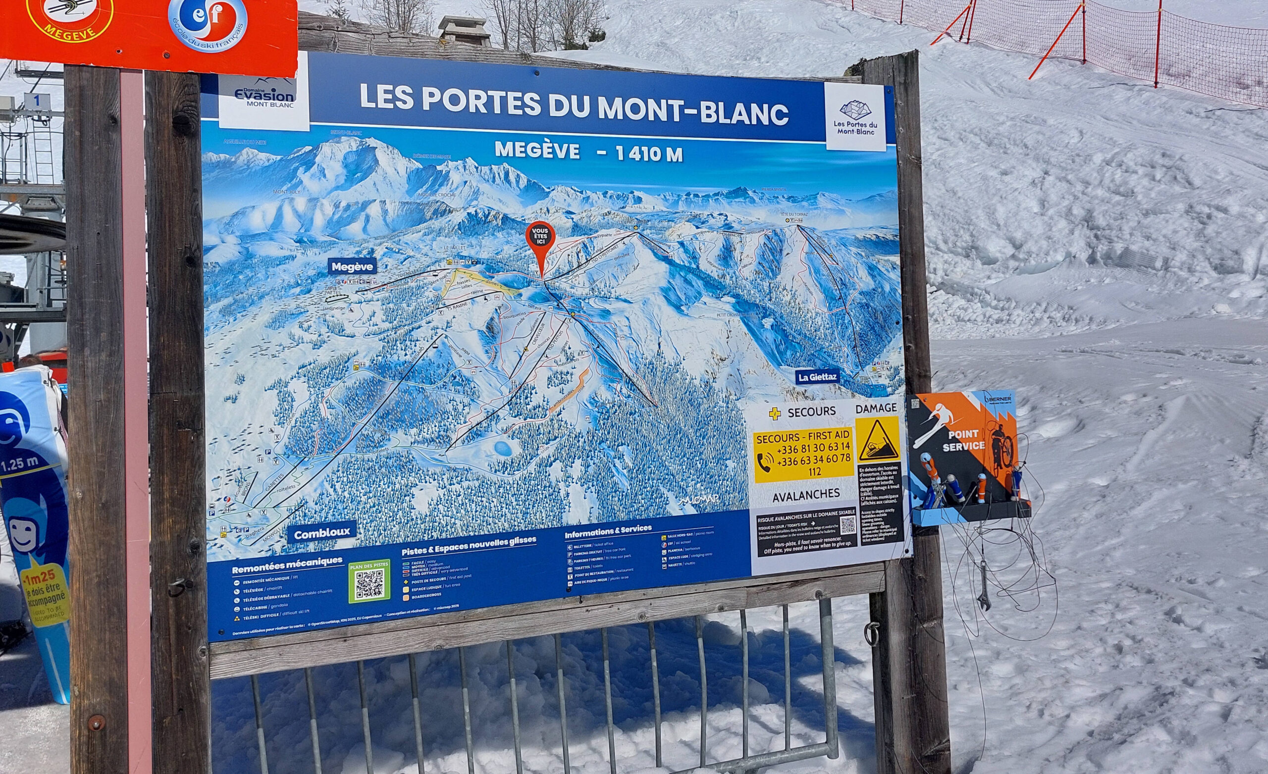
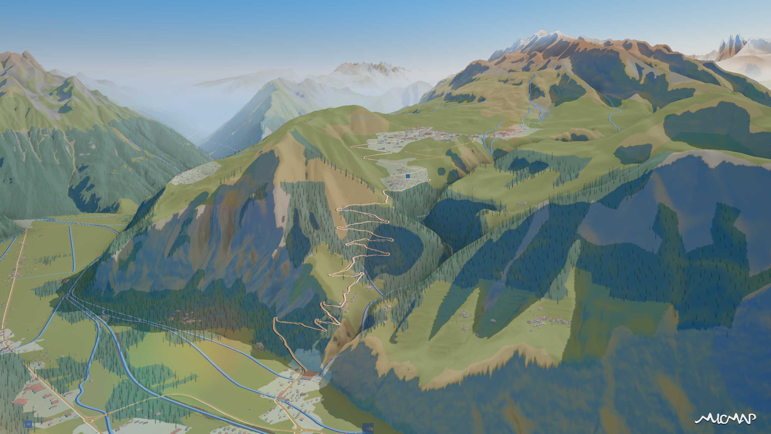
« The micmap team was very responsive, completing the project in just one month. En partant de la vue existante du fond de plan, plusieurs directions ont été Starting from the existing background view, several options were quickly proposed and skilfully executed.
The benefits of micmap: a realistic and easier-to-understand representation of the terrain and the direction of descent. The ability to zoom in on certain complex areas to make them easier to understand. The depiction of the surrounding mountains in the background to put into perspective and highlight the iconic mountains, including Mont Blanc. ”
– Les Portes du Mont-Blanc, Thomas Nicolas (sales department)
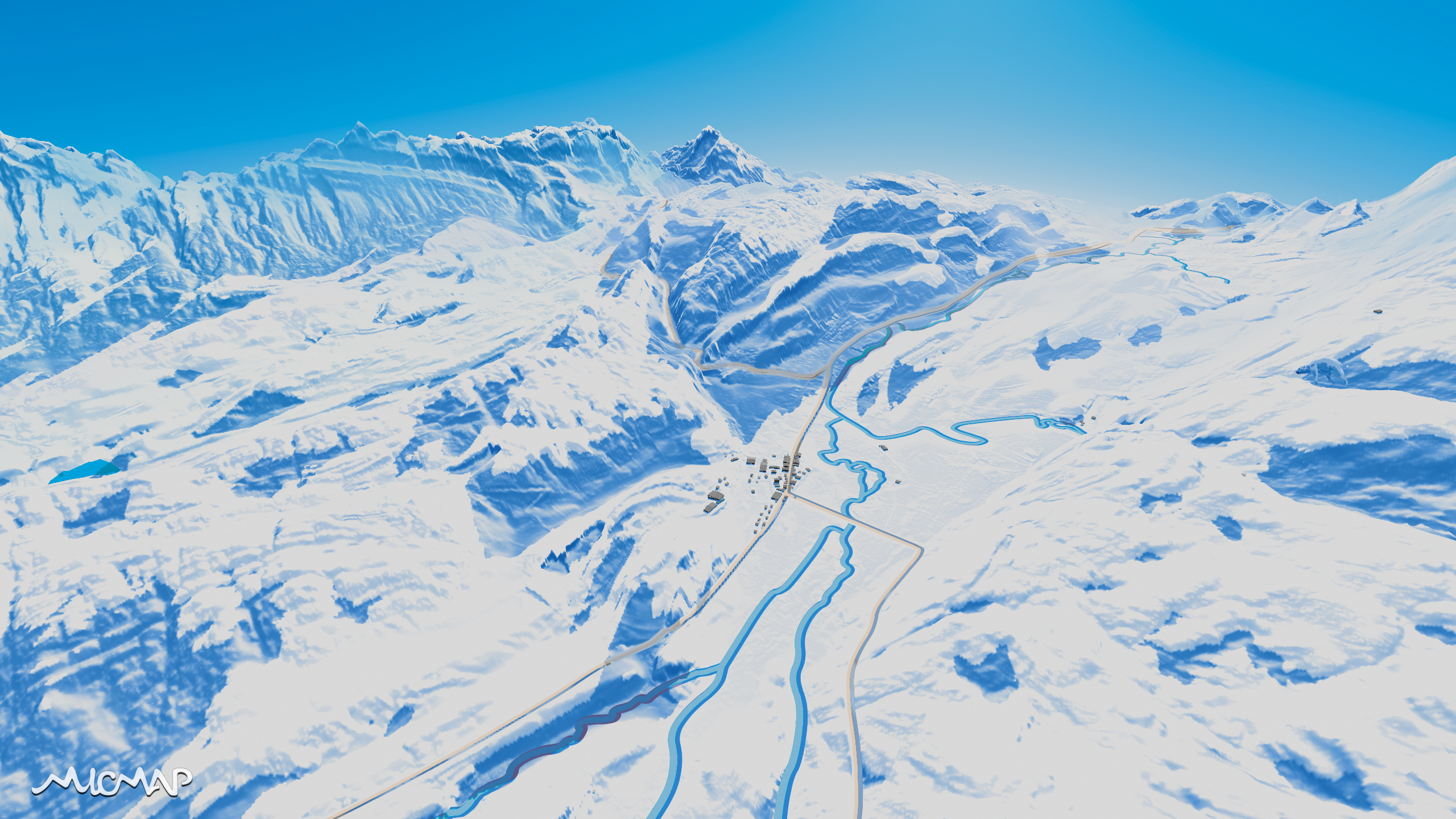
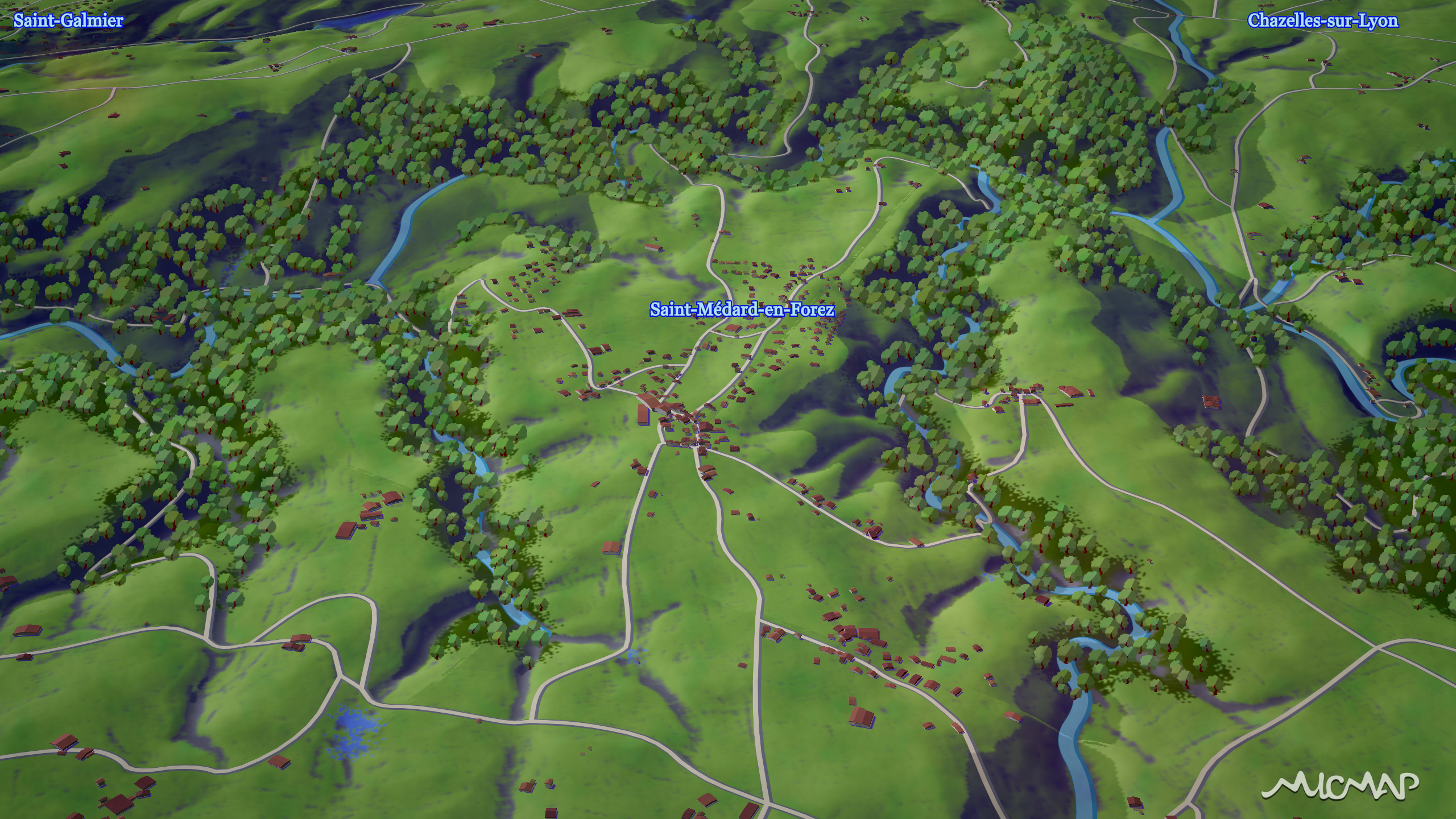
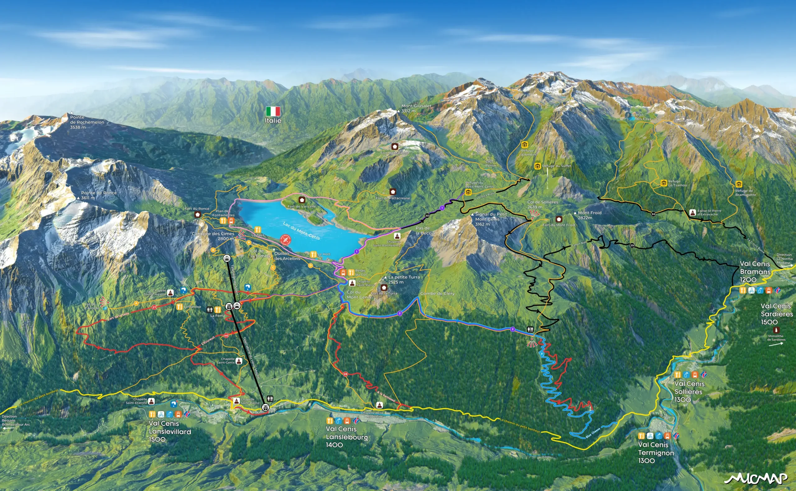
Val Cenis
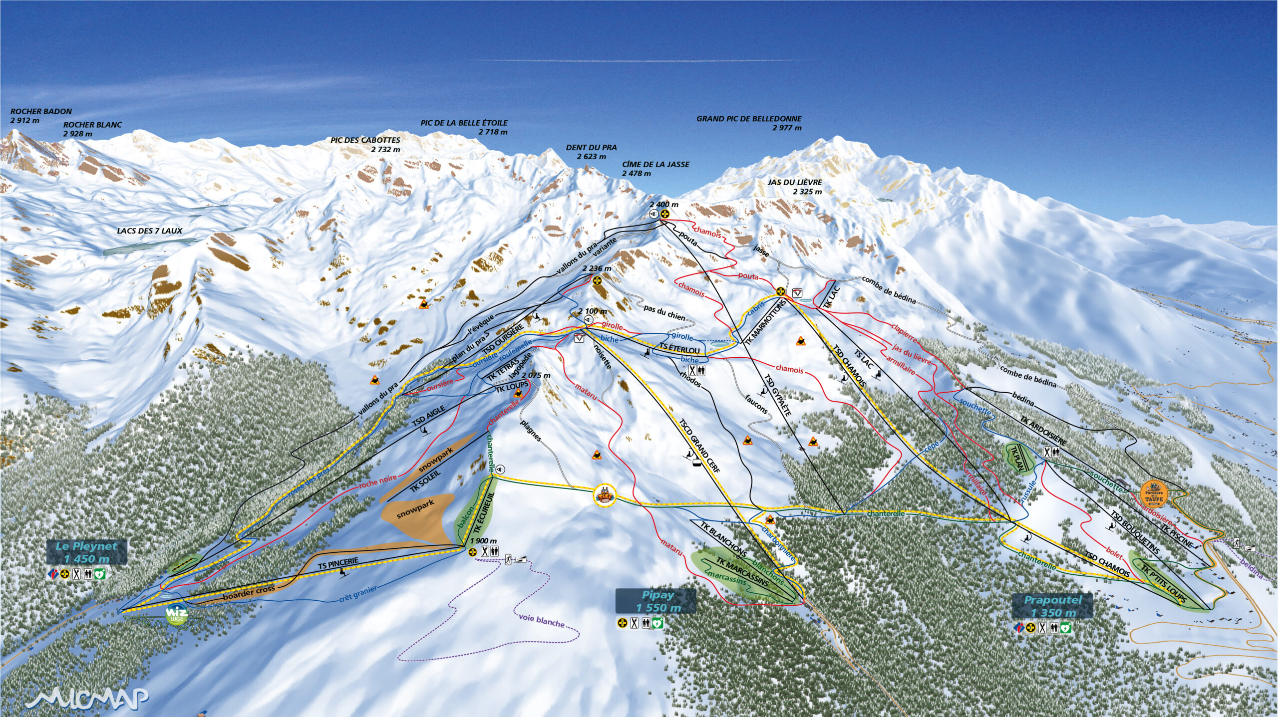
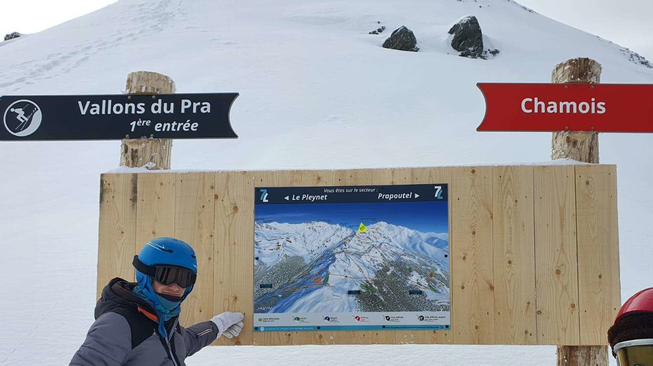
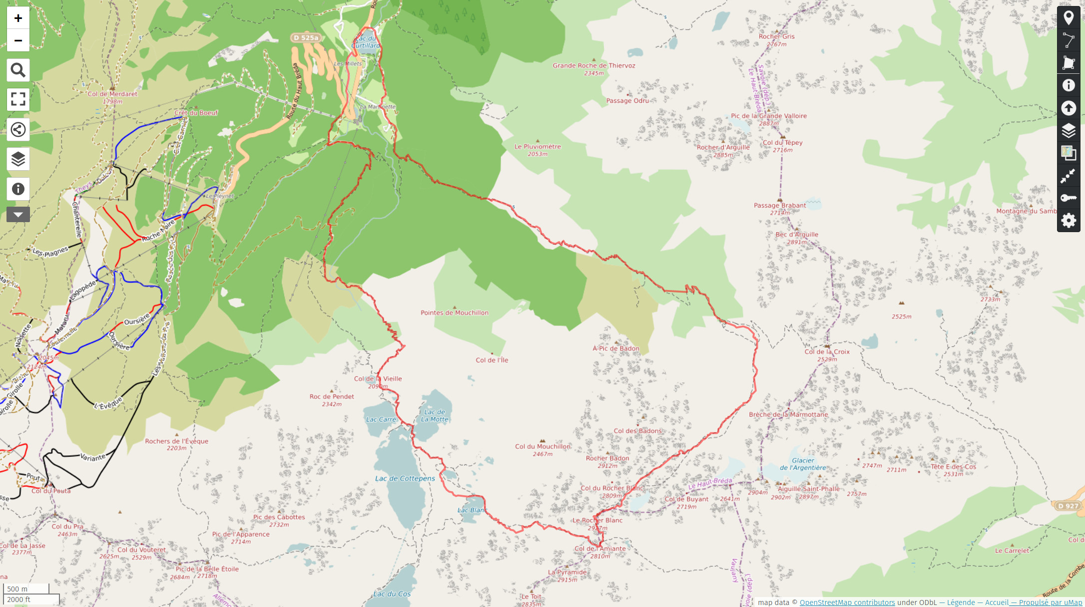
7 Laux
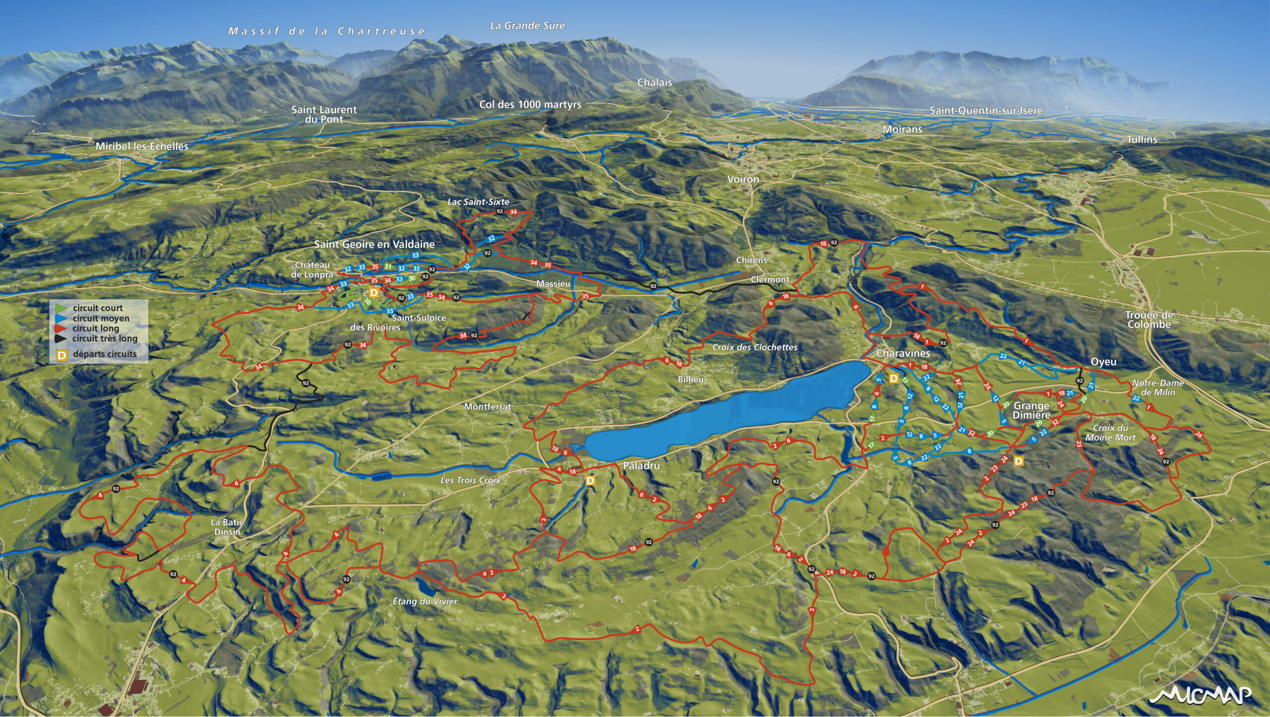
Pays voironnais
Aix-les-Bains
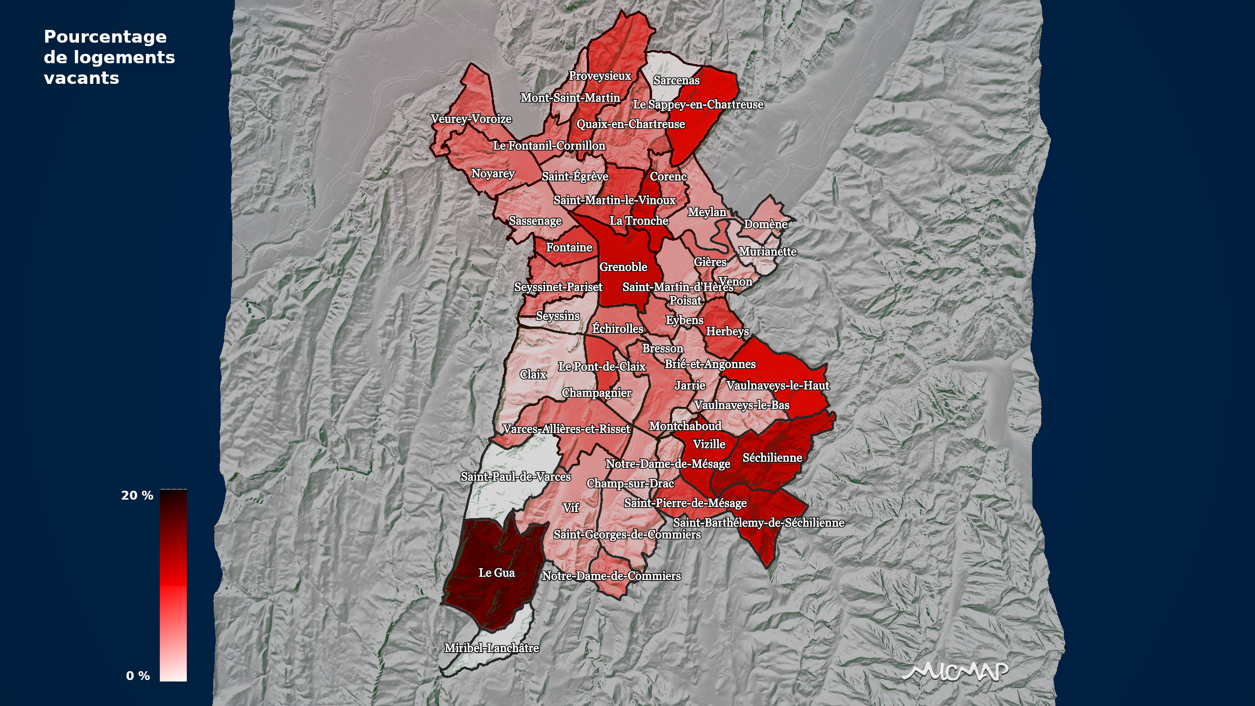
Prévention des risques
Institut des Risques Majeurs (IRMa)
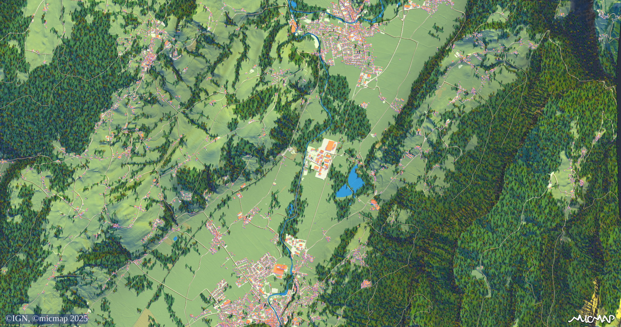
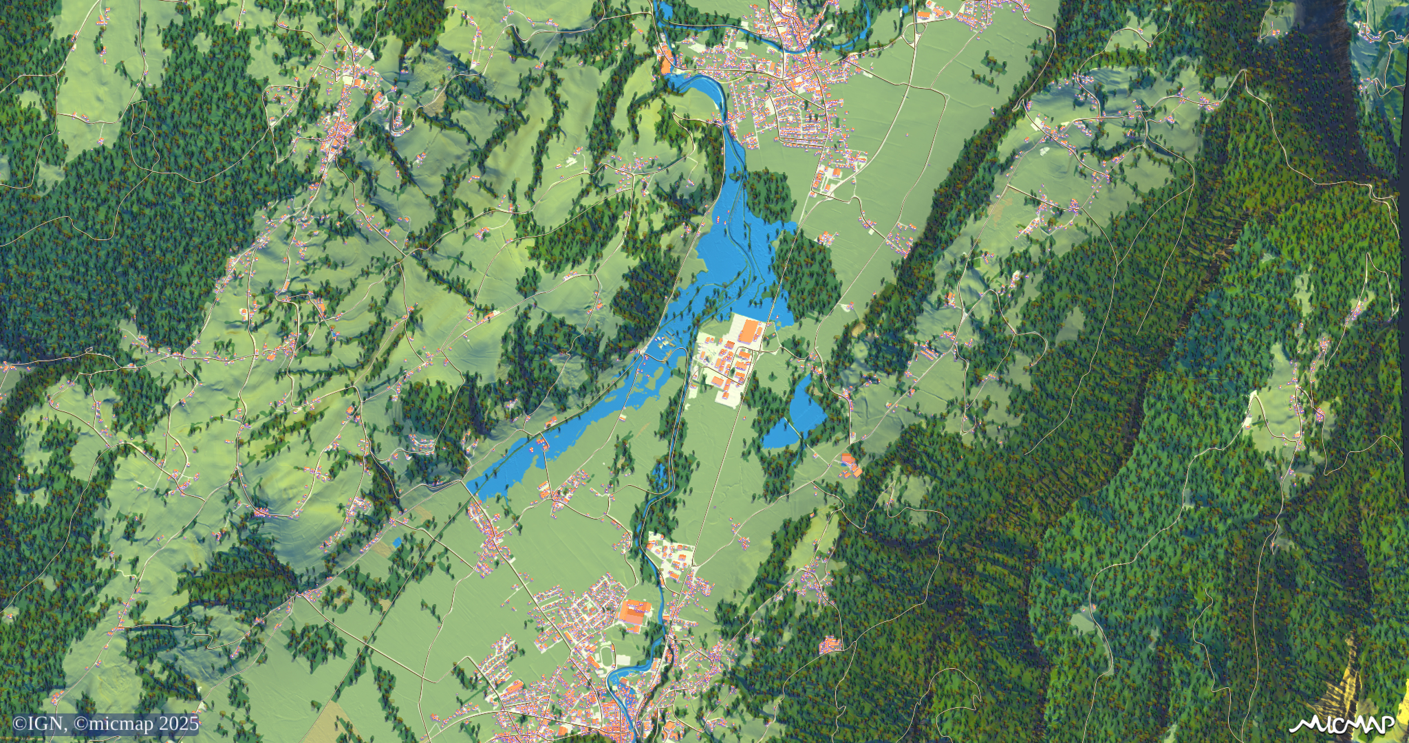
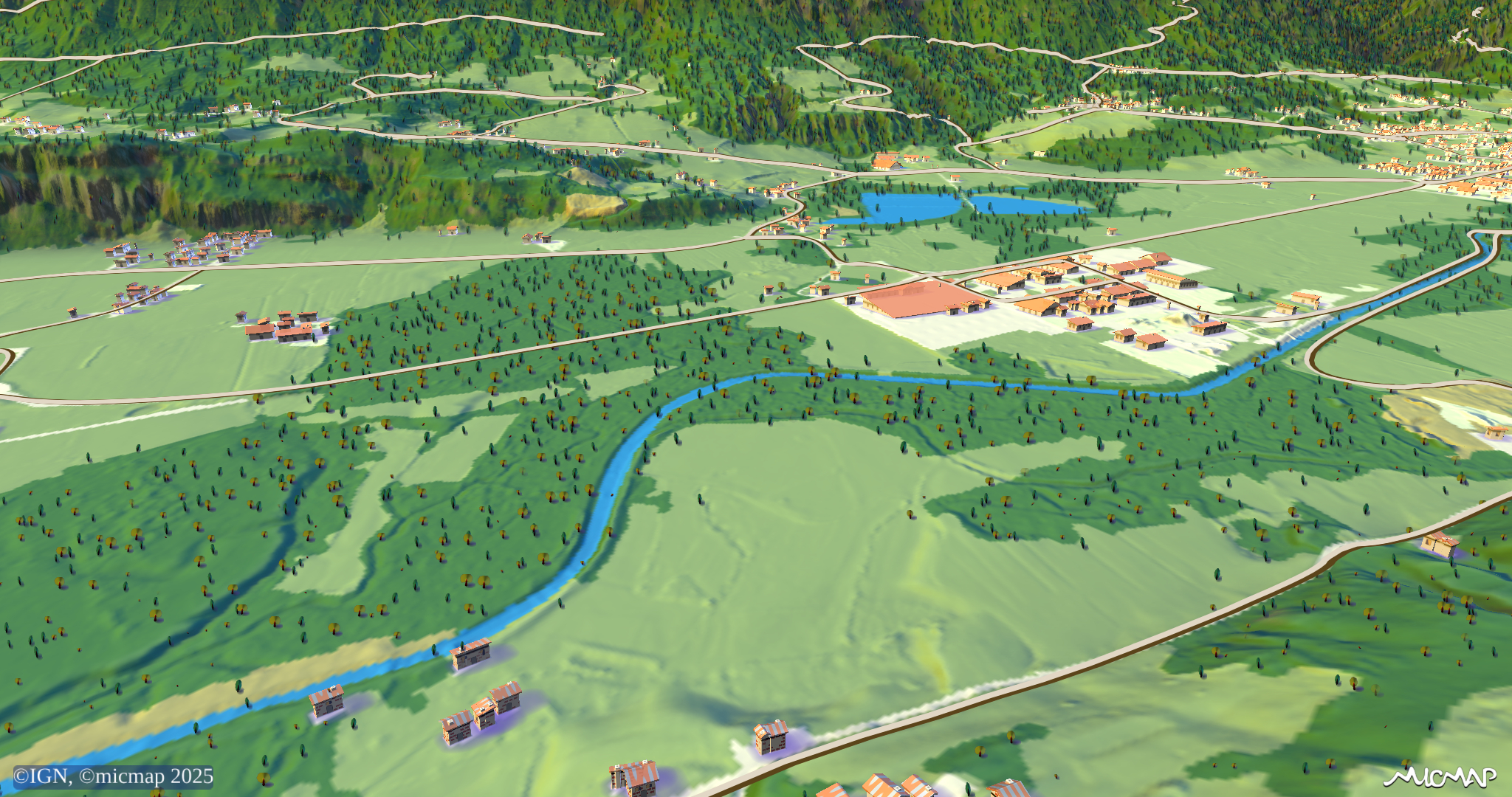
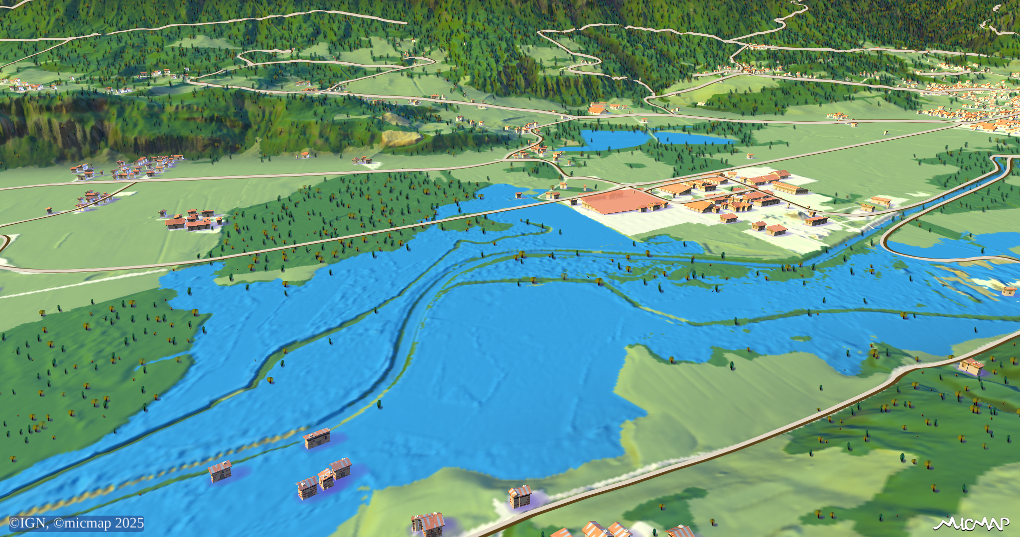
Syndicat Mixte des Bassins Hydrauliques de l'Isère (SYMBHI)
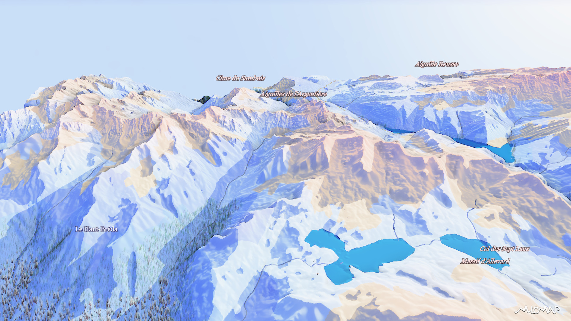
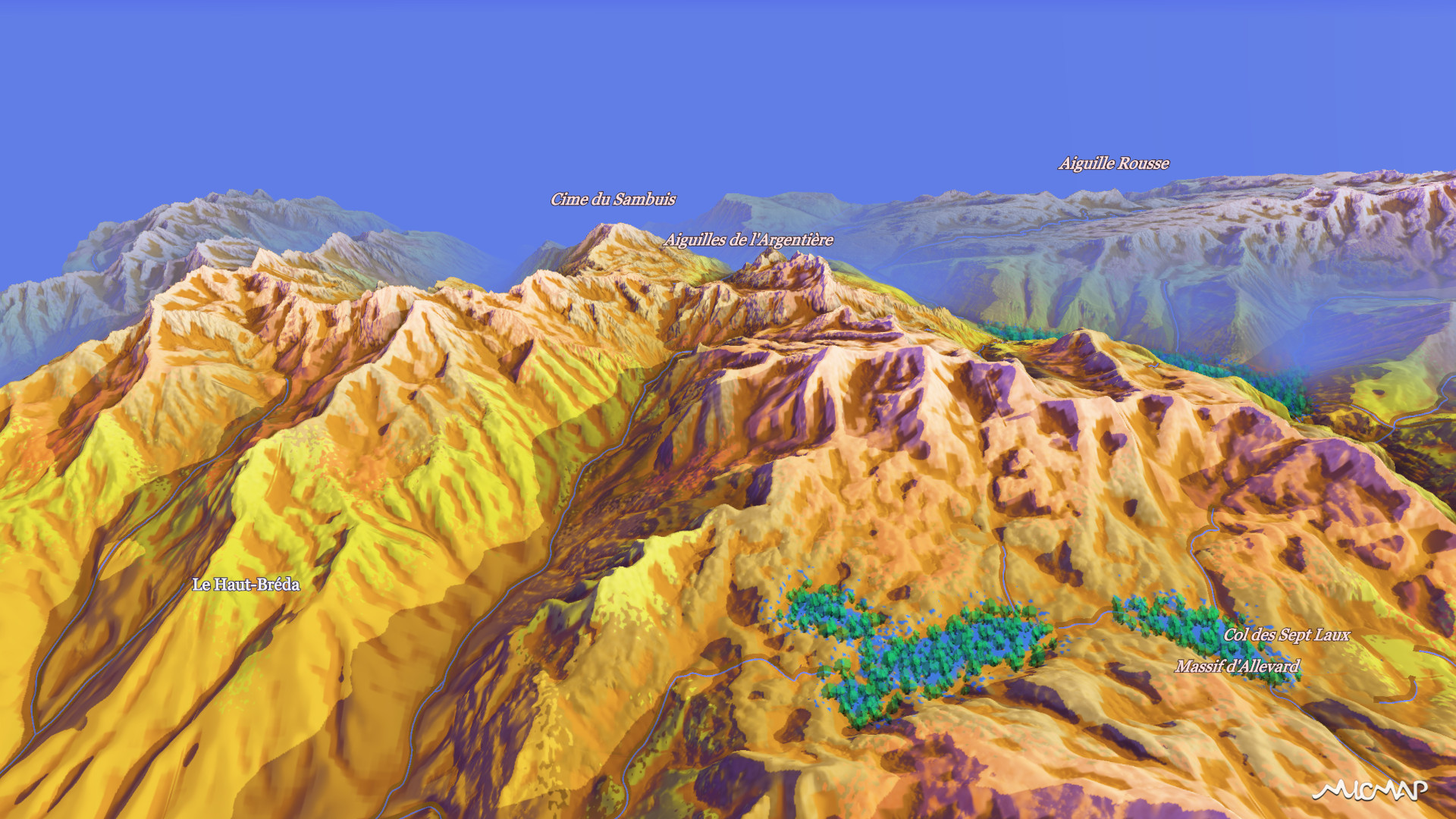
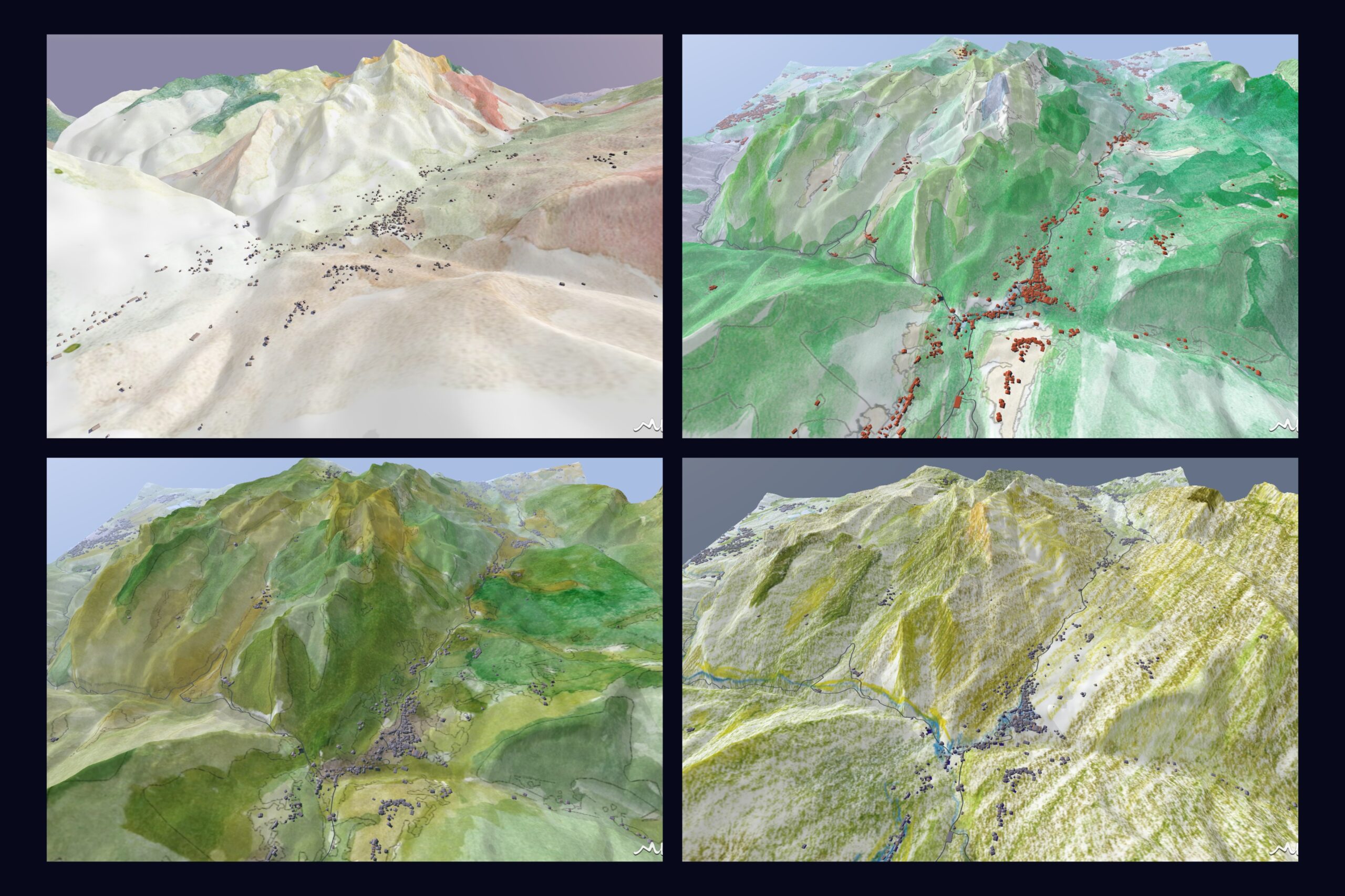
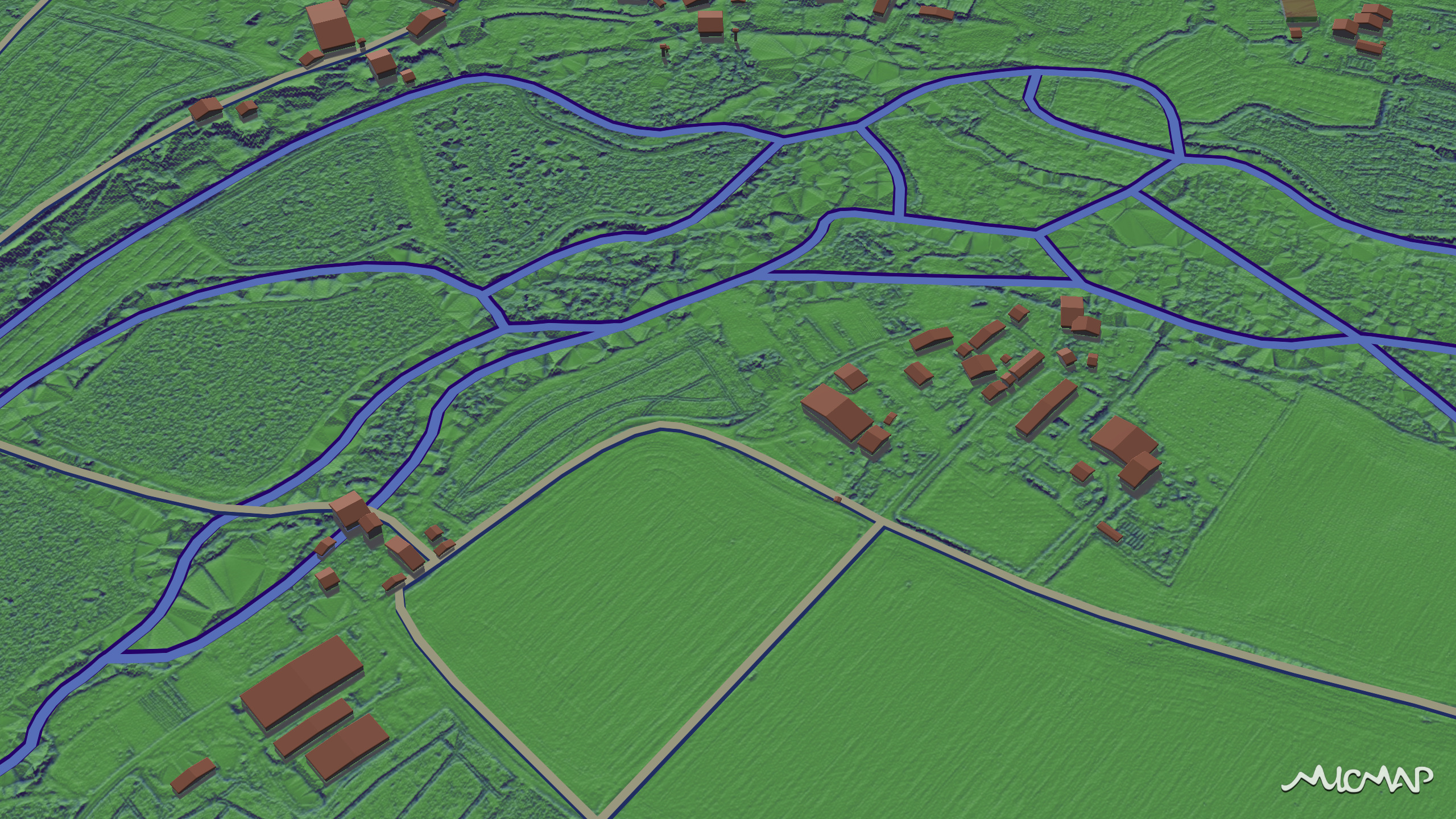
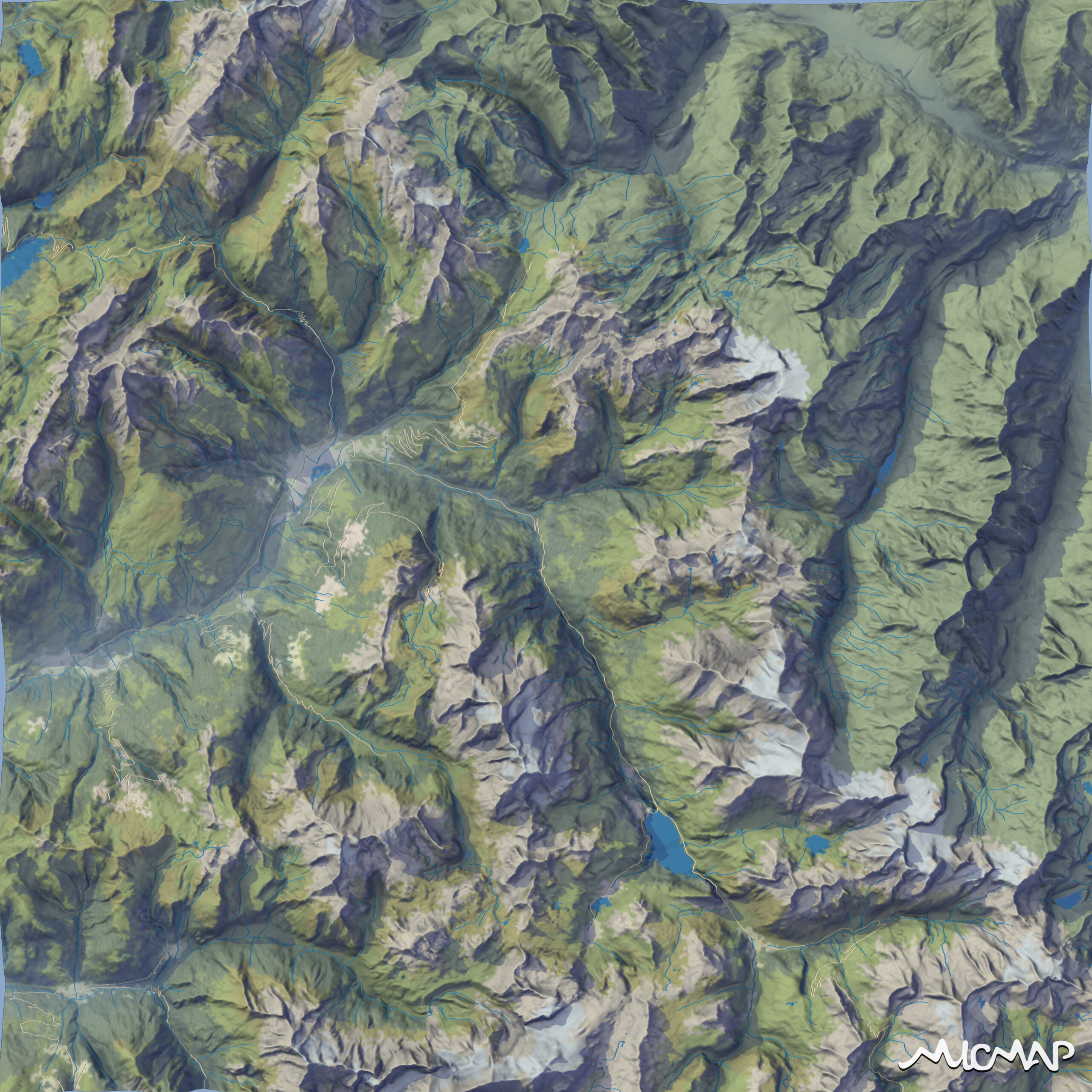
Geo-modeling: you can see everything crystal clear!
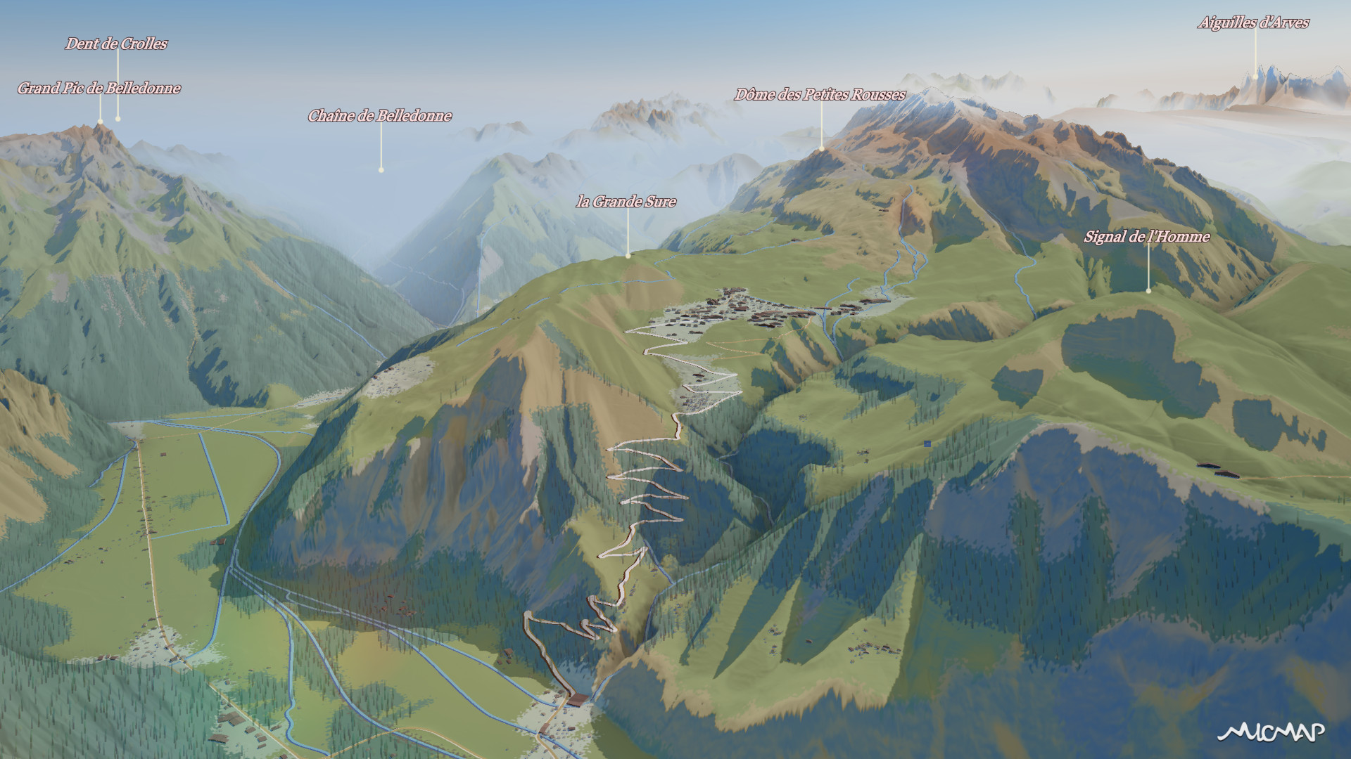
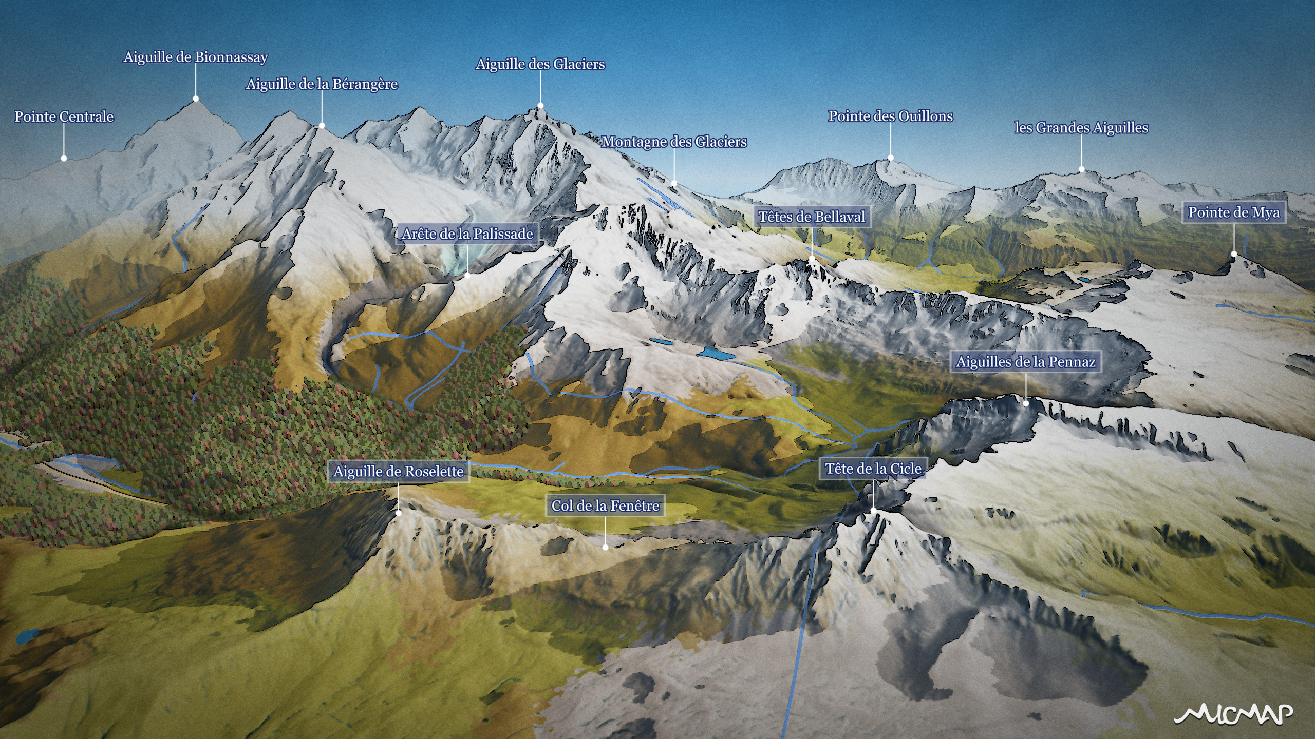
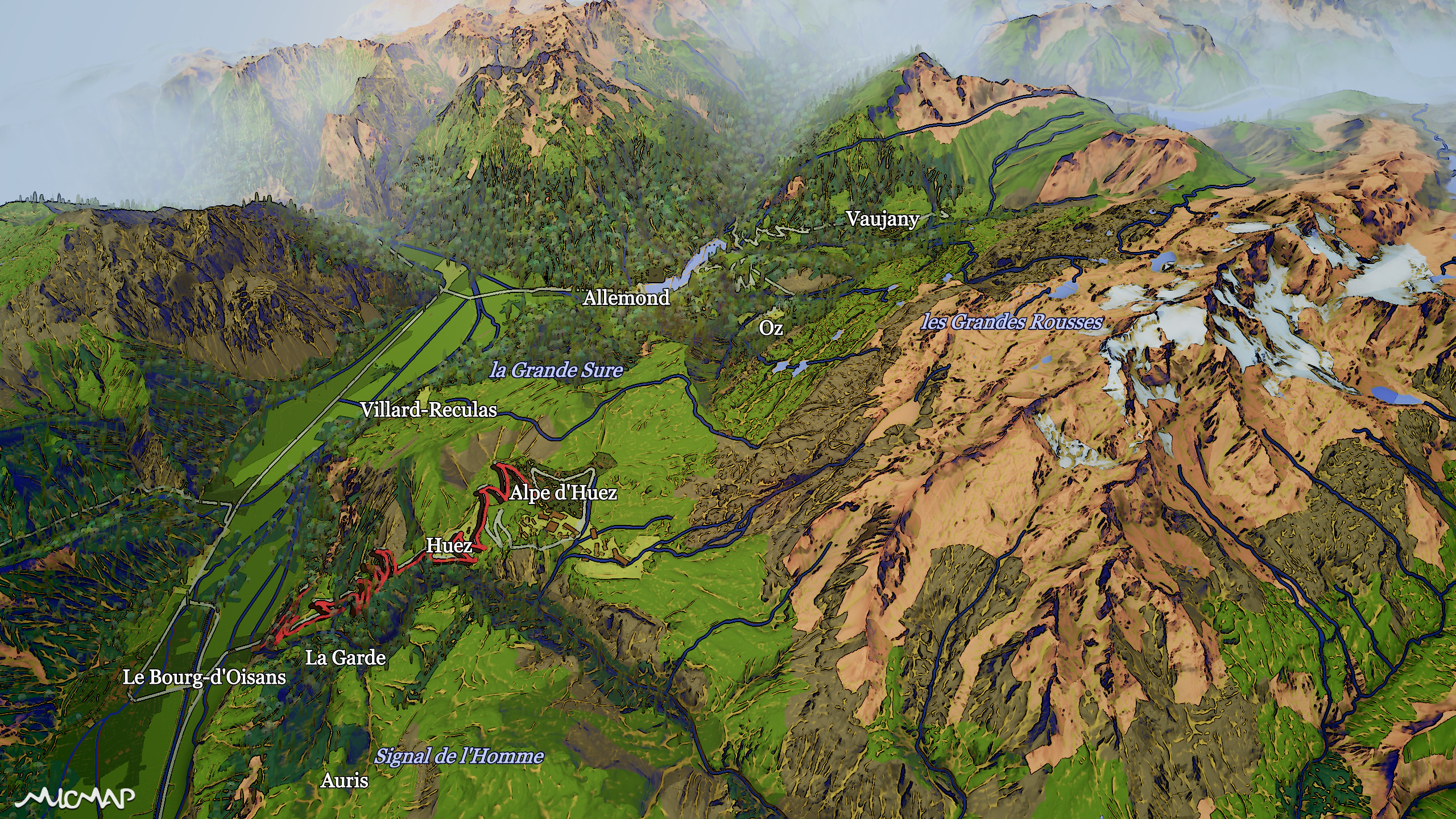
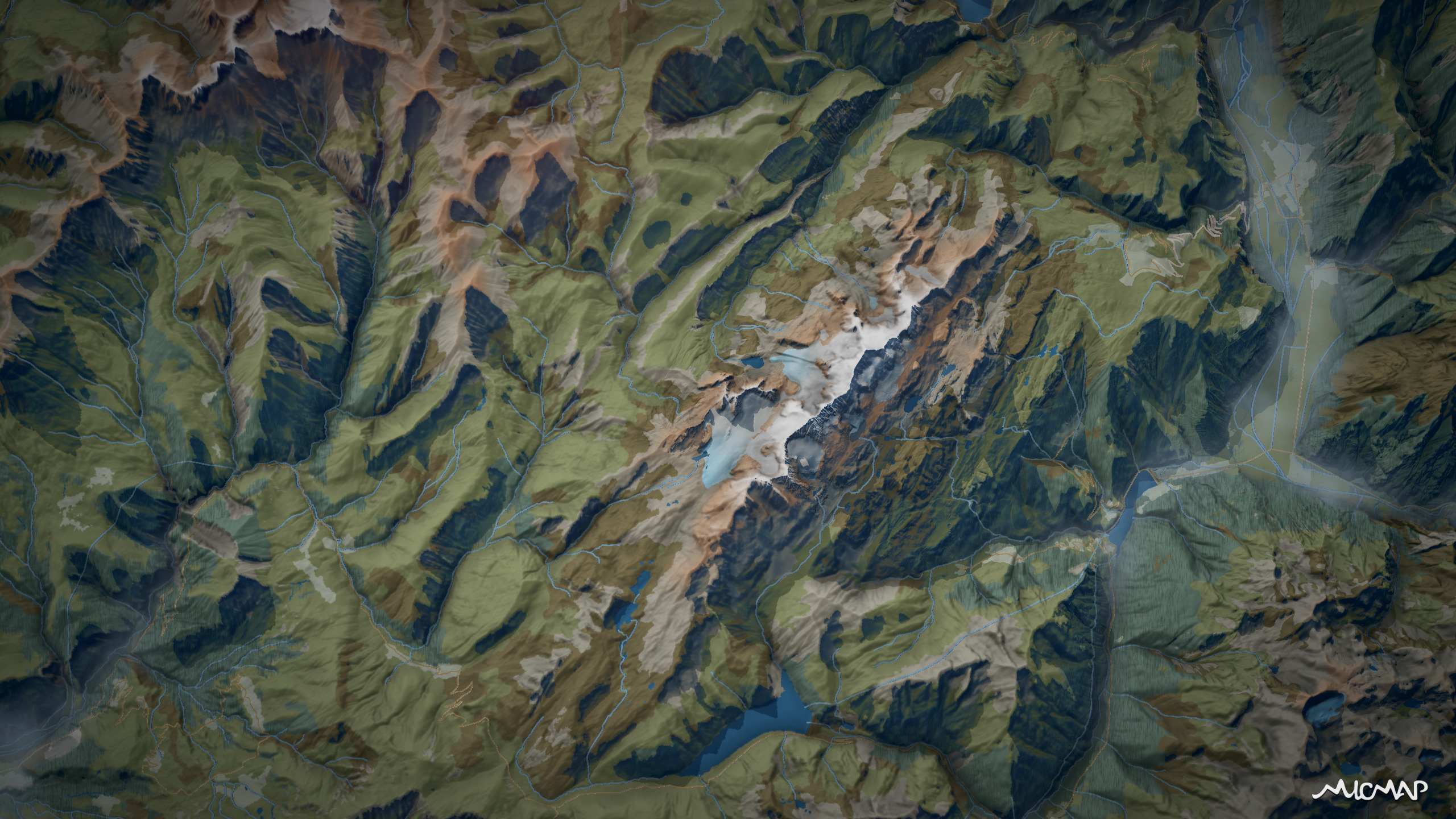
In the original view of Alpe d'Huez, several issues must be addressed.
Major municipalities in the local economic fabric are absent, access via Vaujany is out of sight, the rear of the Grandes Rousses massif in the center of the image is invisible, as are the high-altitude lakes and glaciers. It is difficult to understand the relief due to the frontal view. However, this view is necessary to represent the iconic winding climb to Huez and render the expanse of the area.
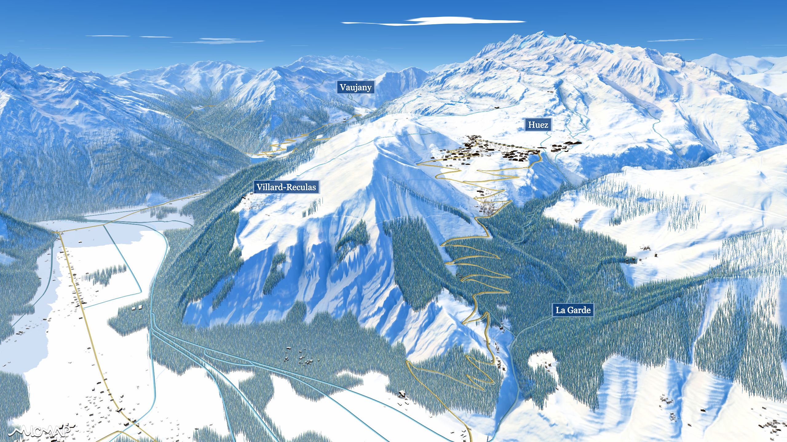
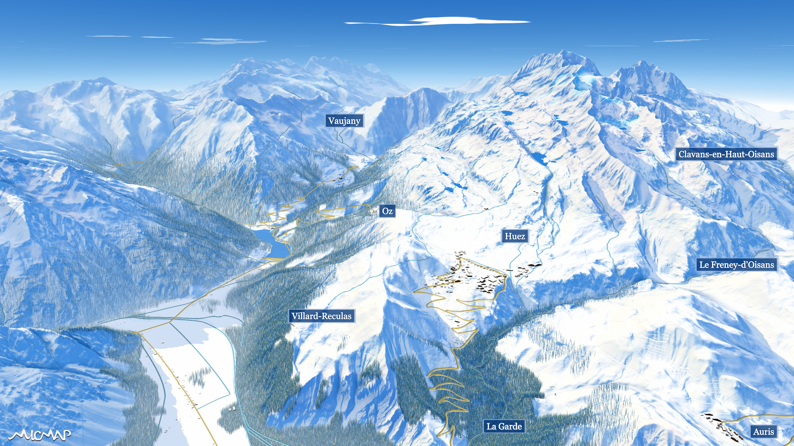
After shaping the topography of the terrain, the municipalities reappear, access via the Vaujany valley is clearer, both sides of the Grandes Rousses massif are visible simultaneously, and the massif's lakes and glaciers are well in view. All this without sacrificing a proper comprehension of the relief!
This work is made possible by clearly identifying customer needs.
Your knowledge of the area combined with our cartographic expertise allows us to devise the optimal map for your users.
Our images, they move!
We produce our images using a home-made rendering engine.
And everything is real-time!
We can therefore wander through breathtaking landscapes at will!
Why not yours?
View of Mont Blanc, from the Aravis range
Grand Veymont, Vercors massif
La Grand Soufrière, Basse-Terre, Guadeloupe
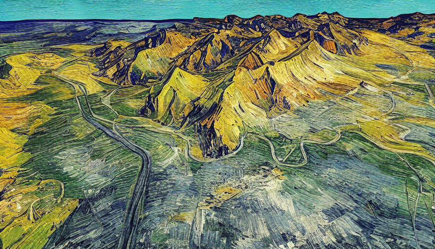
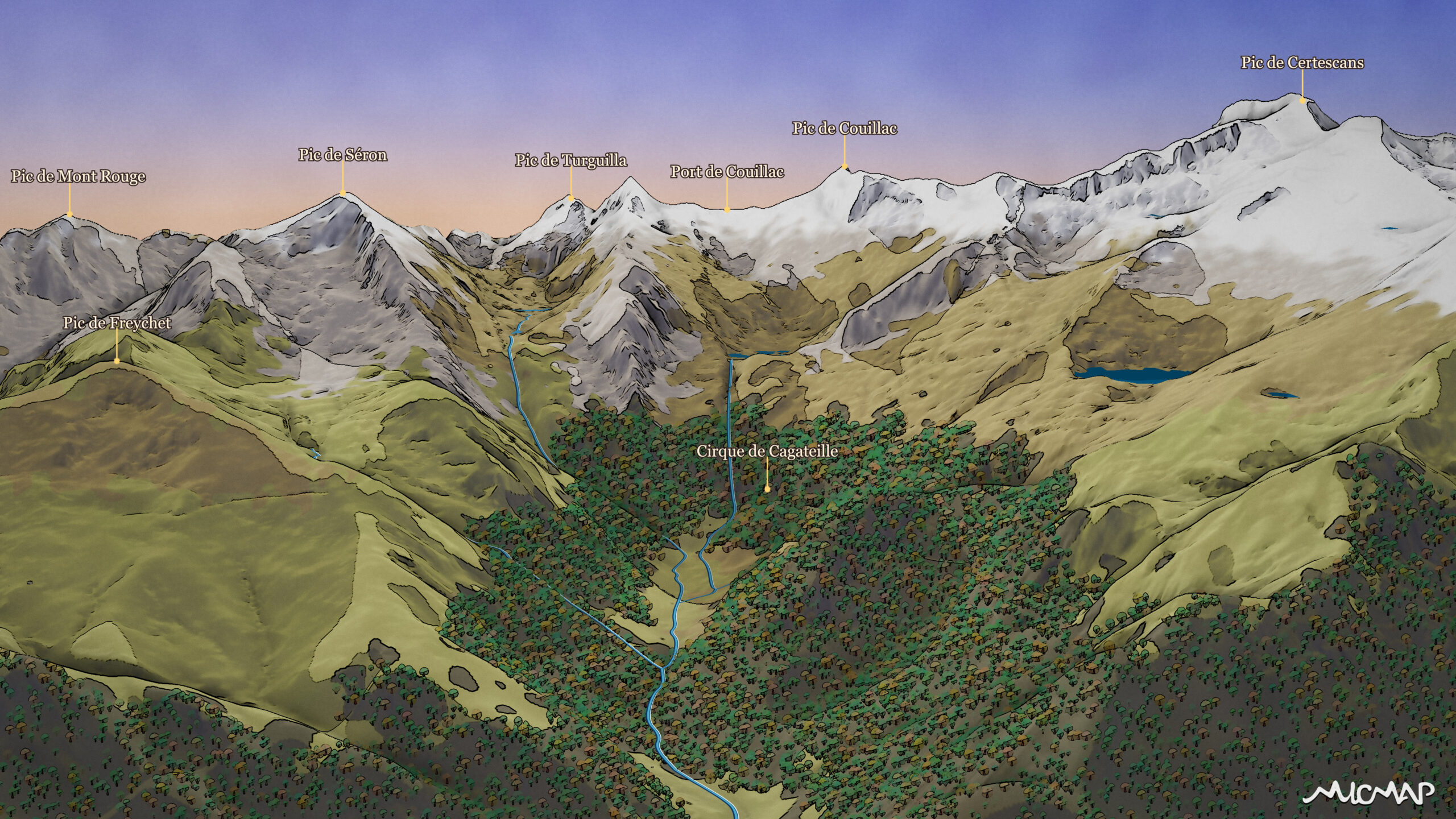
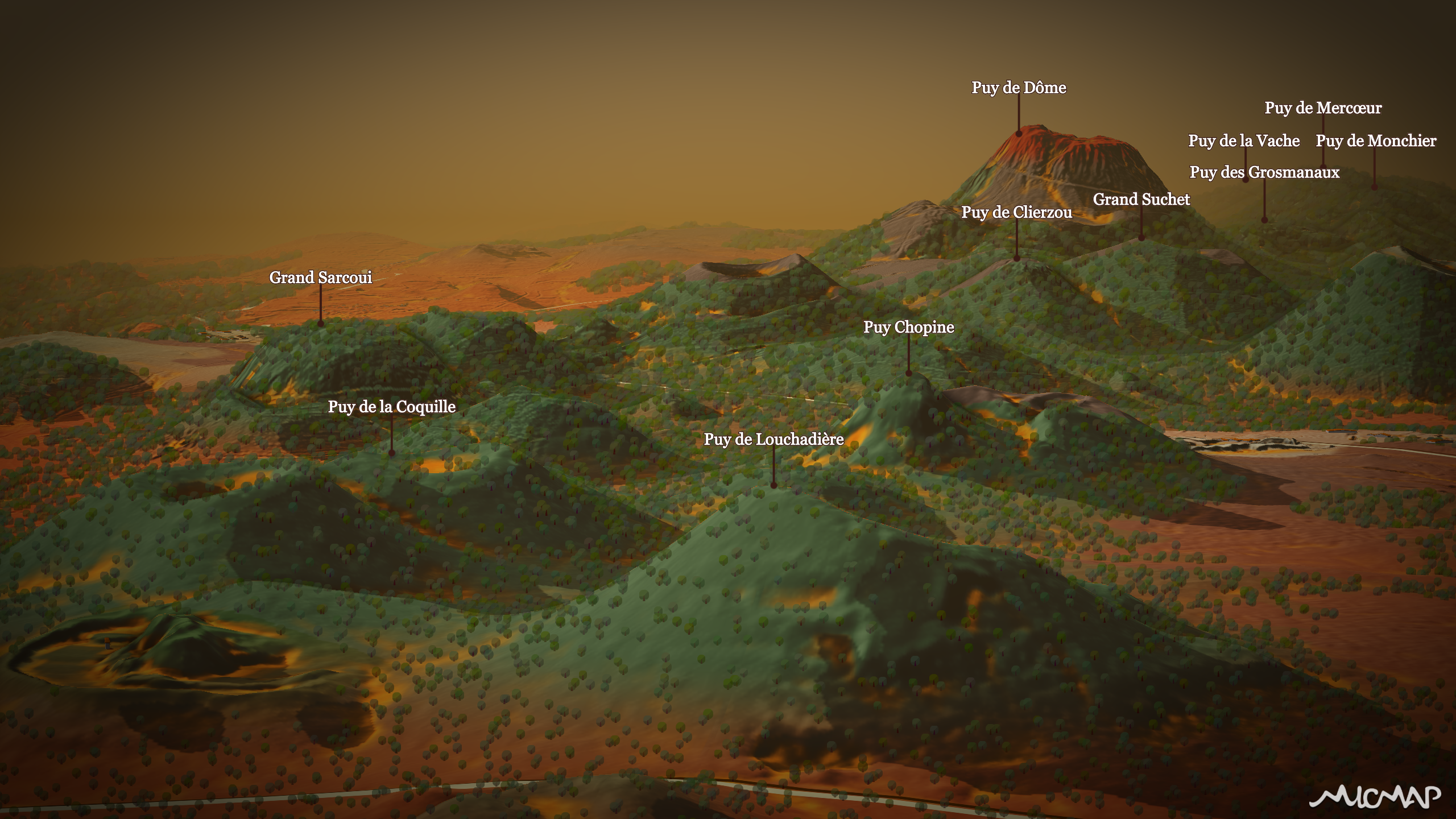
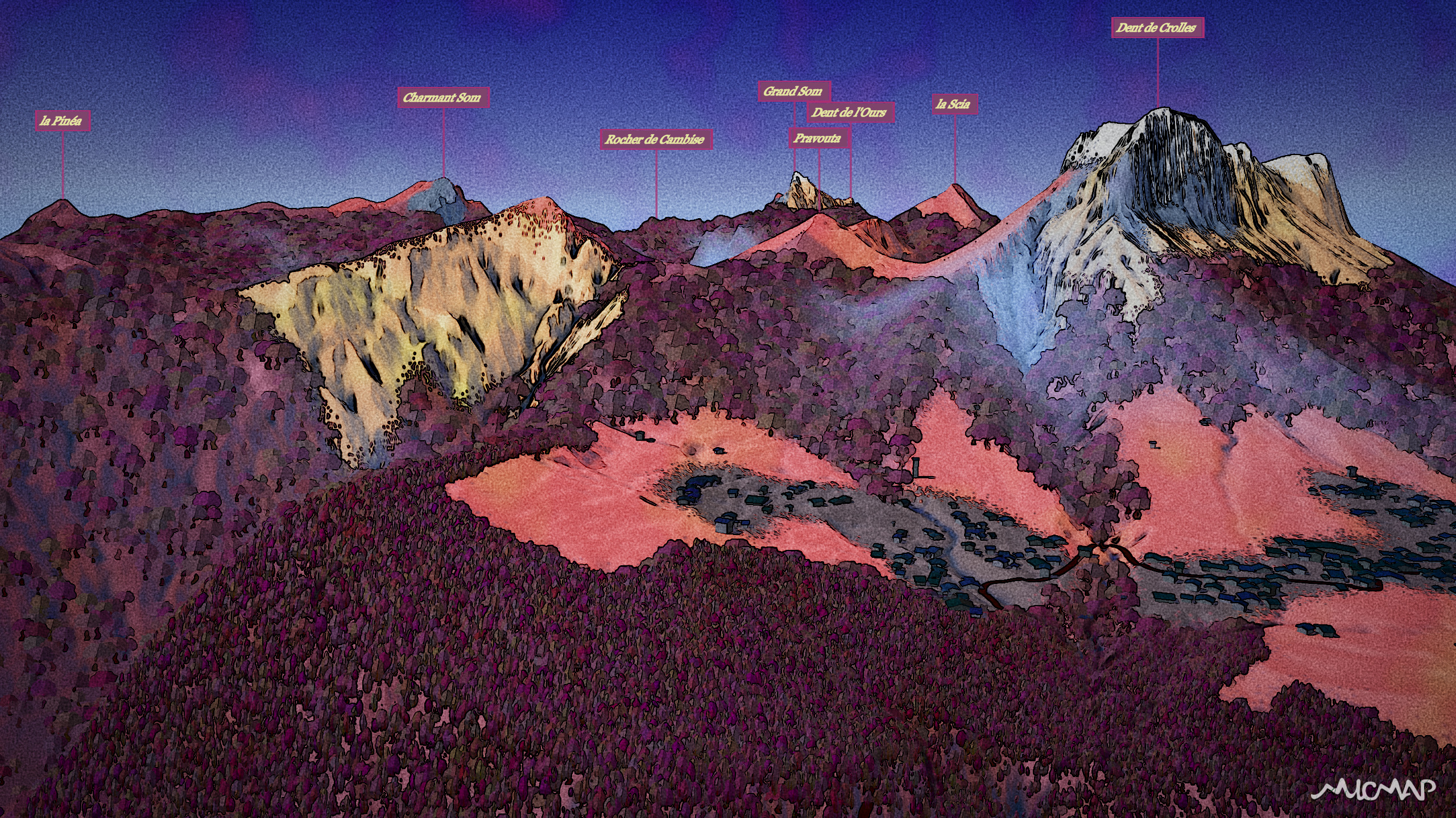
Puy de Sancy, Chaîne des Puys, watercolor
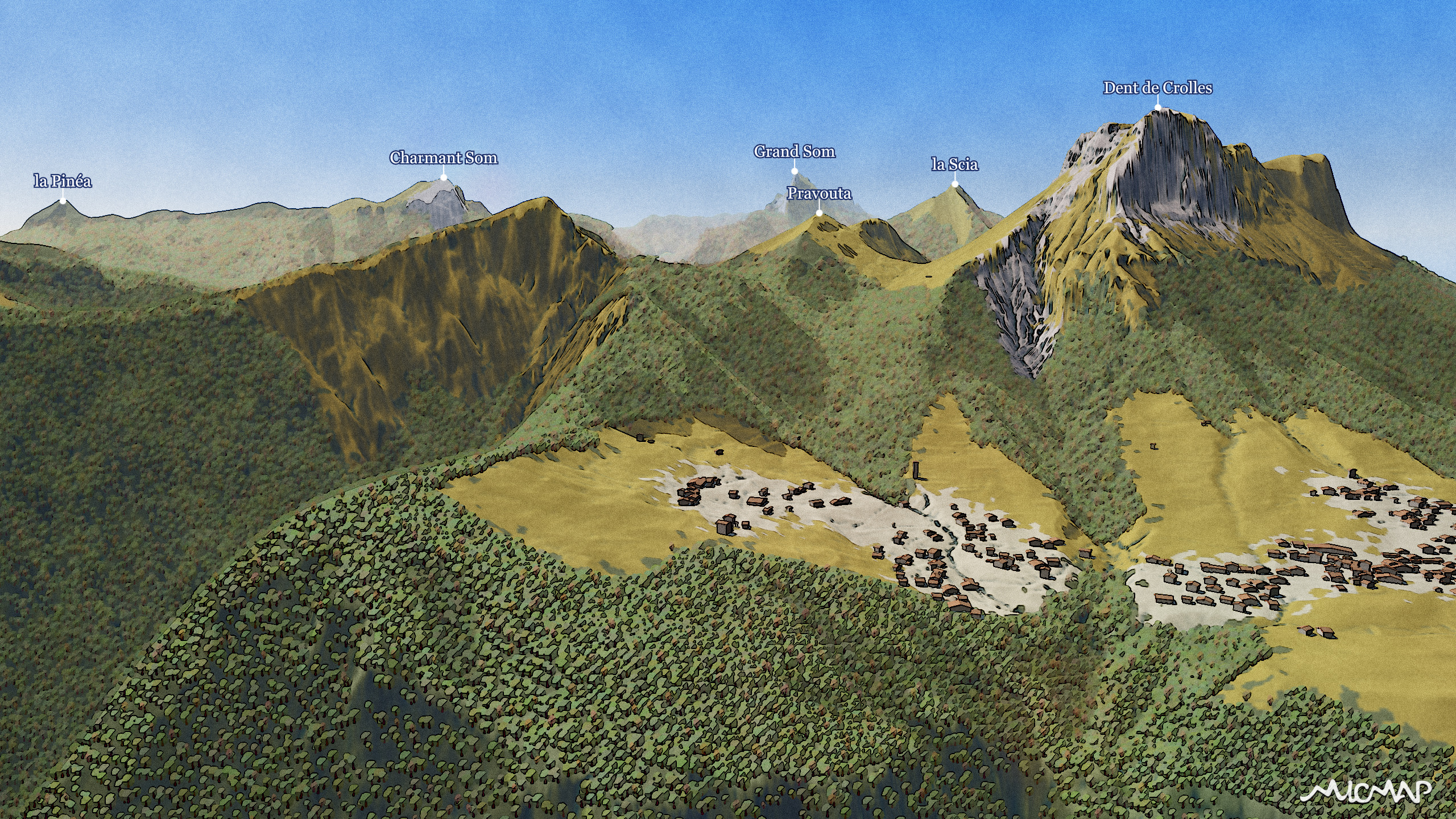
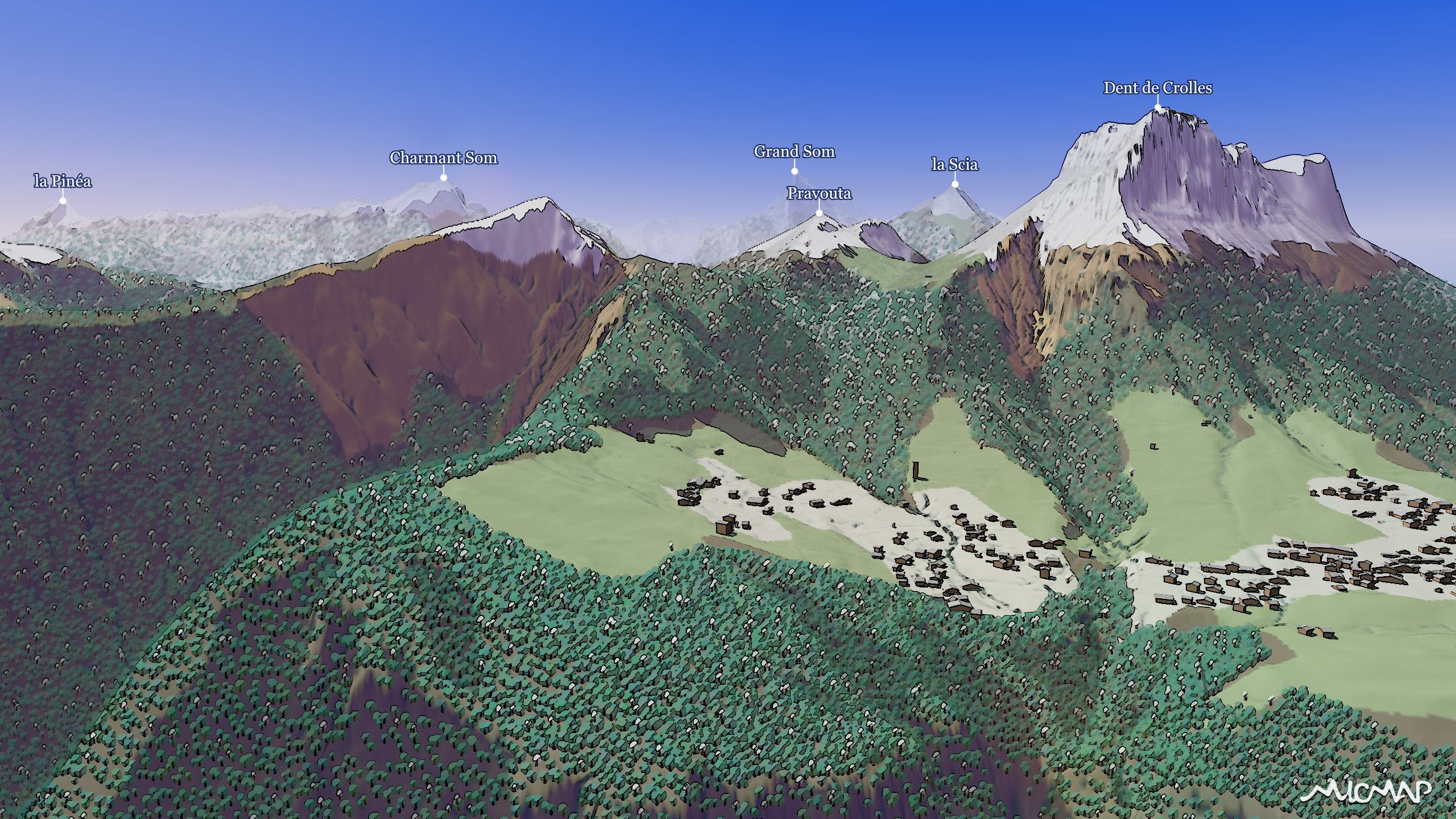
Grandes Rousses massif, winter and autumn
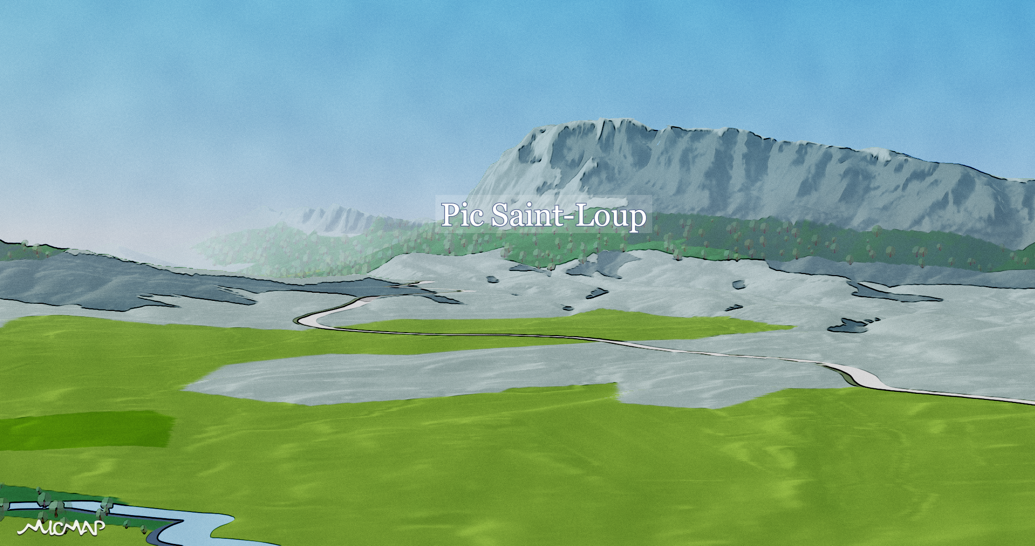
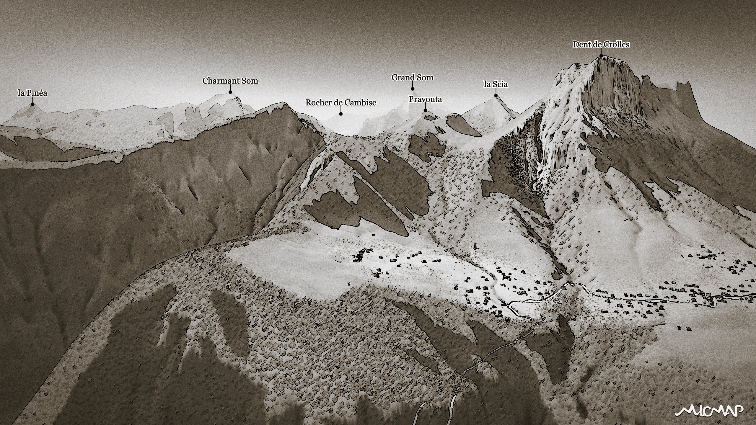
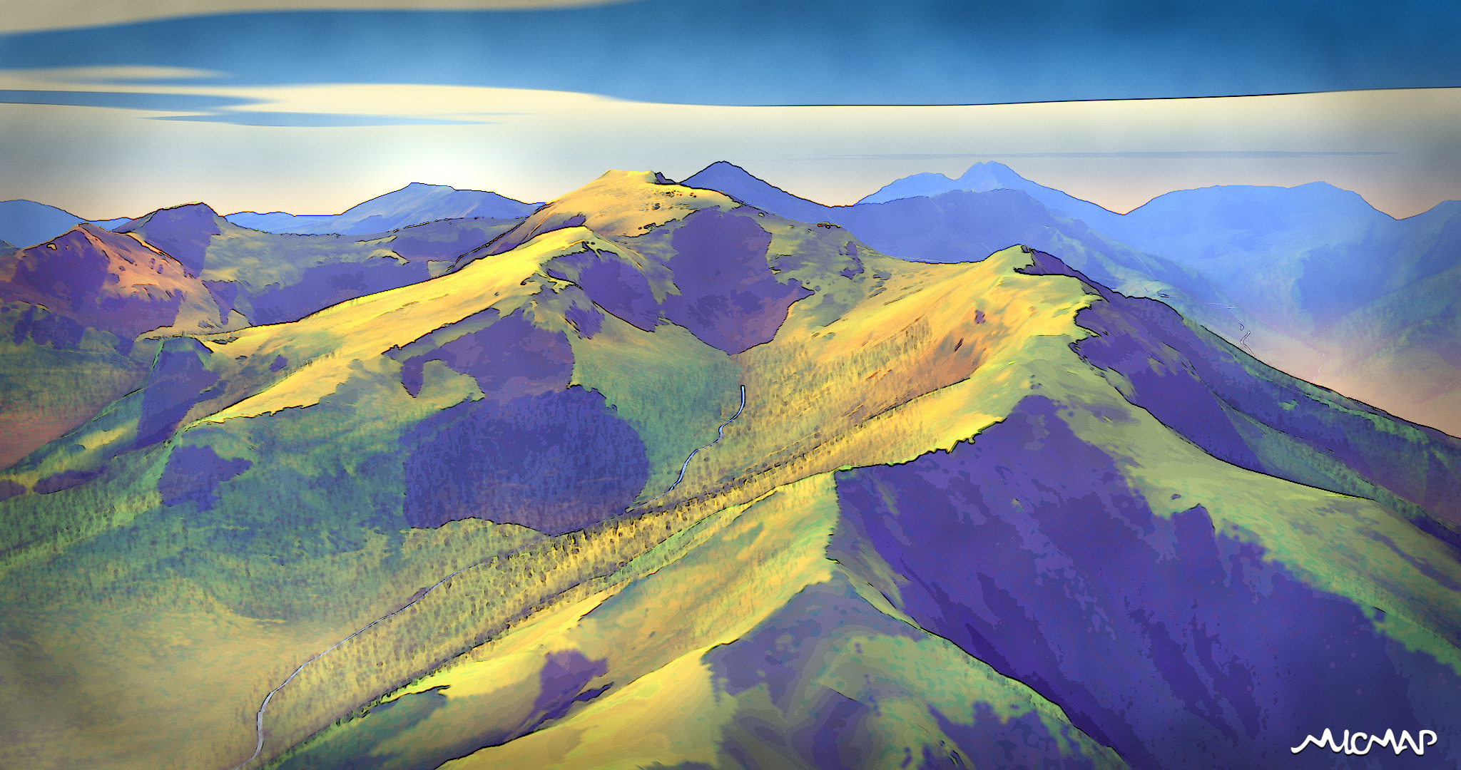
stylistic study
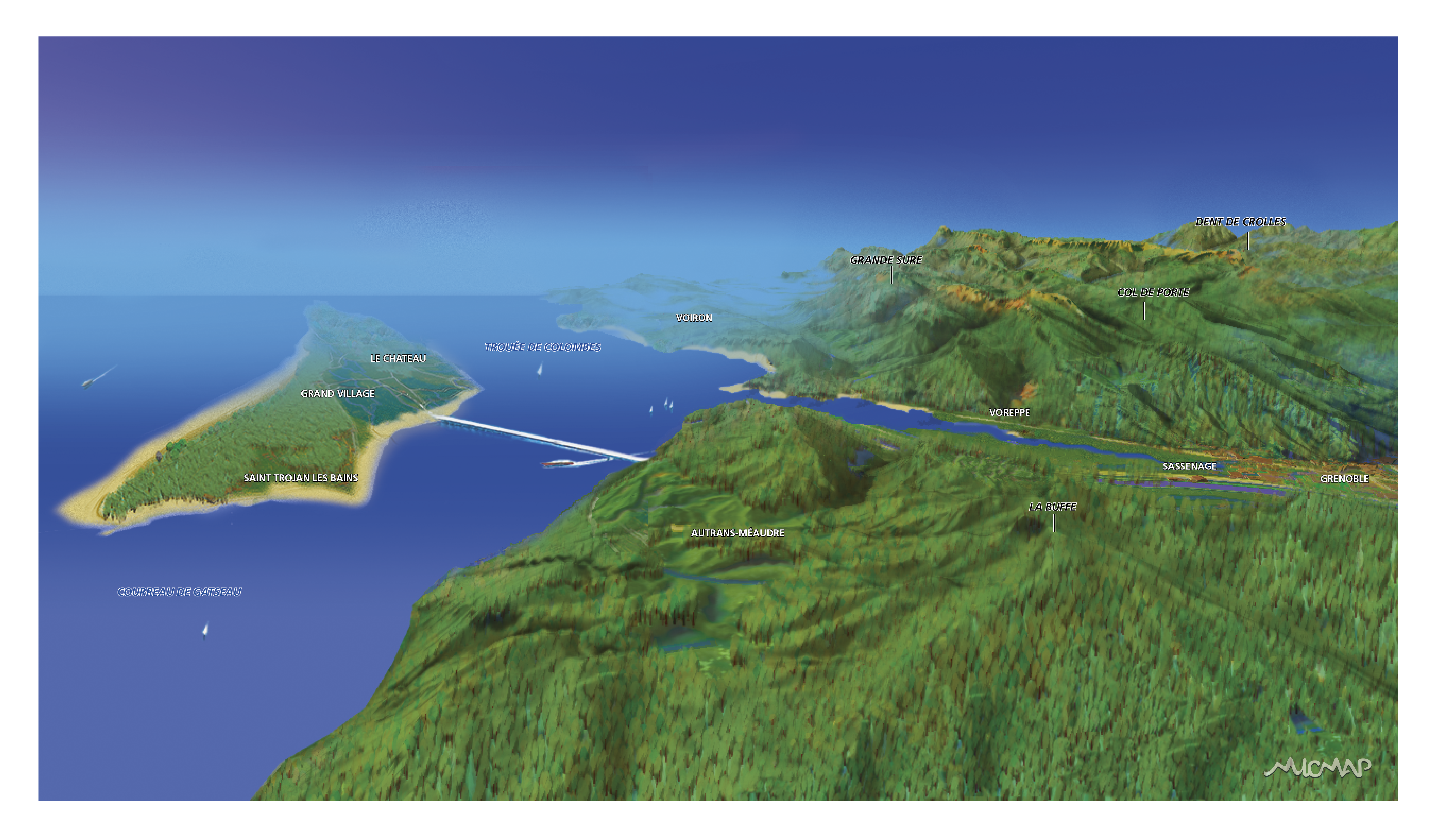
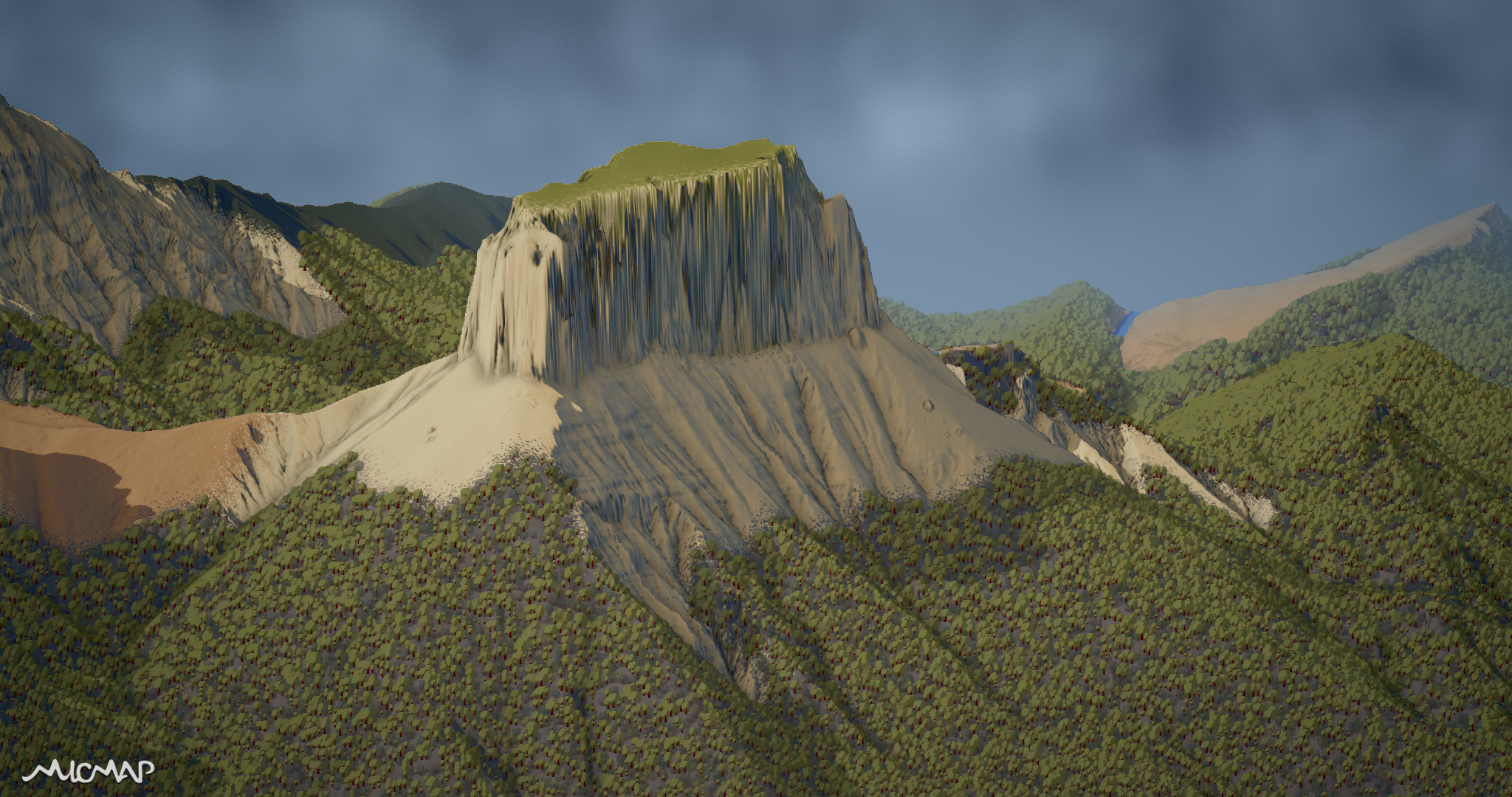
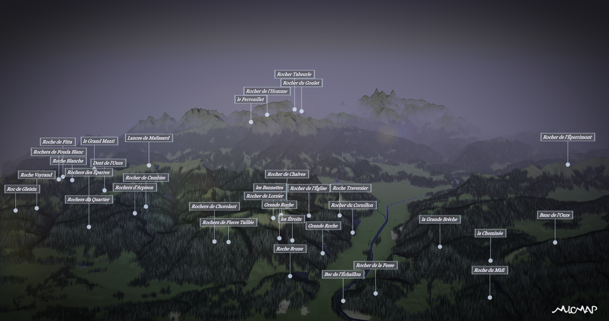
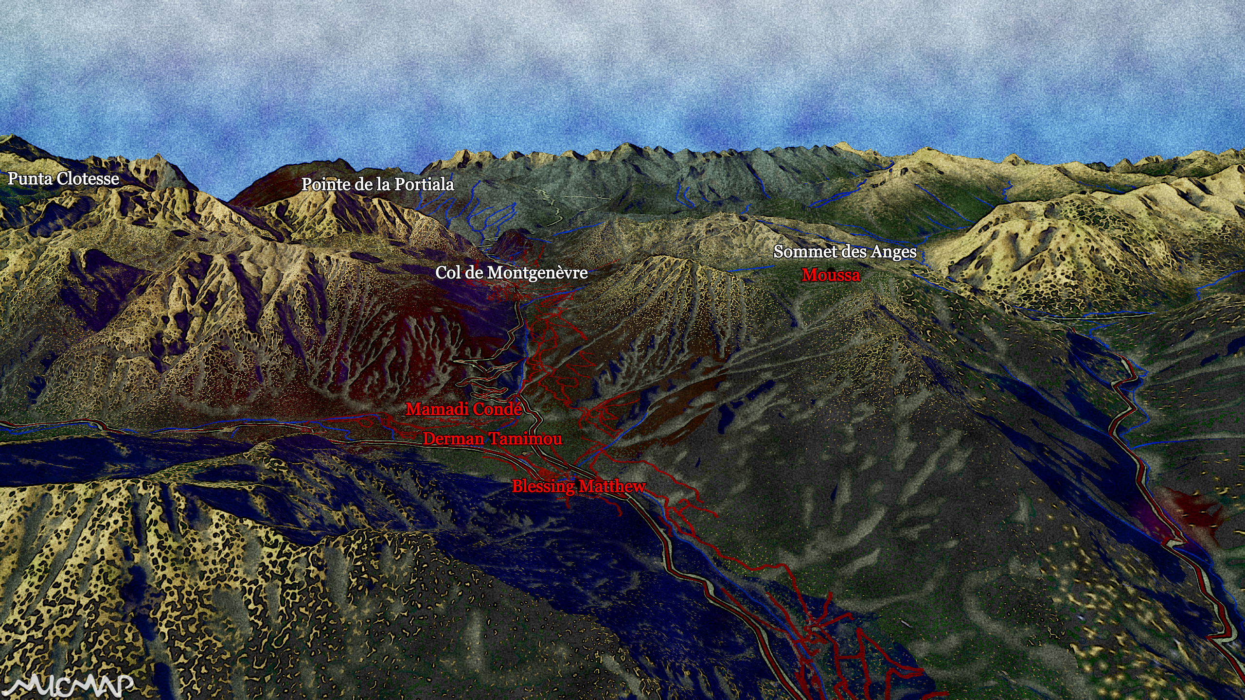
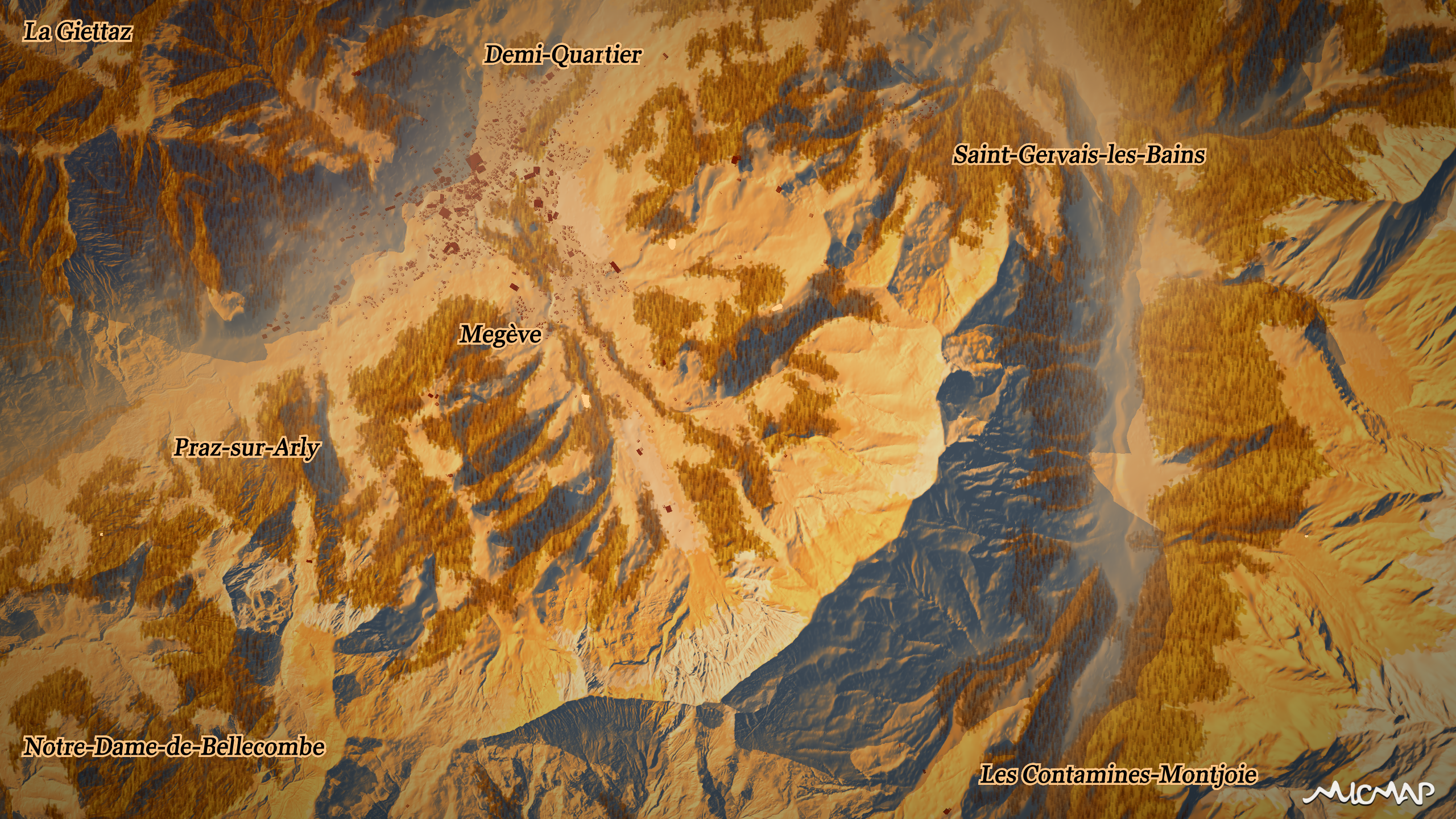
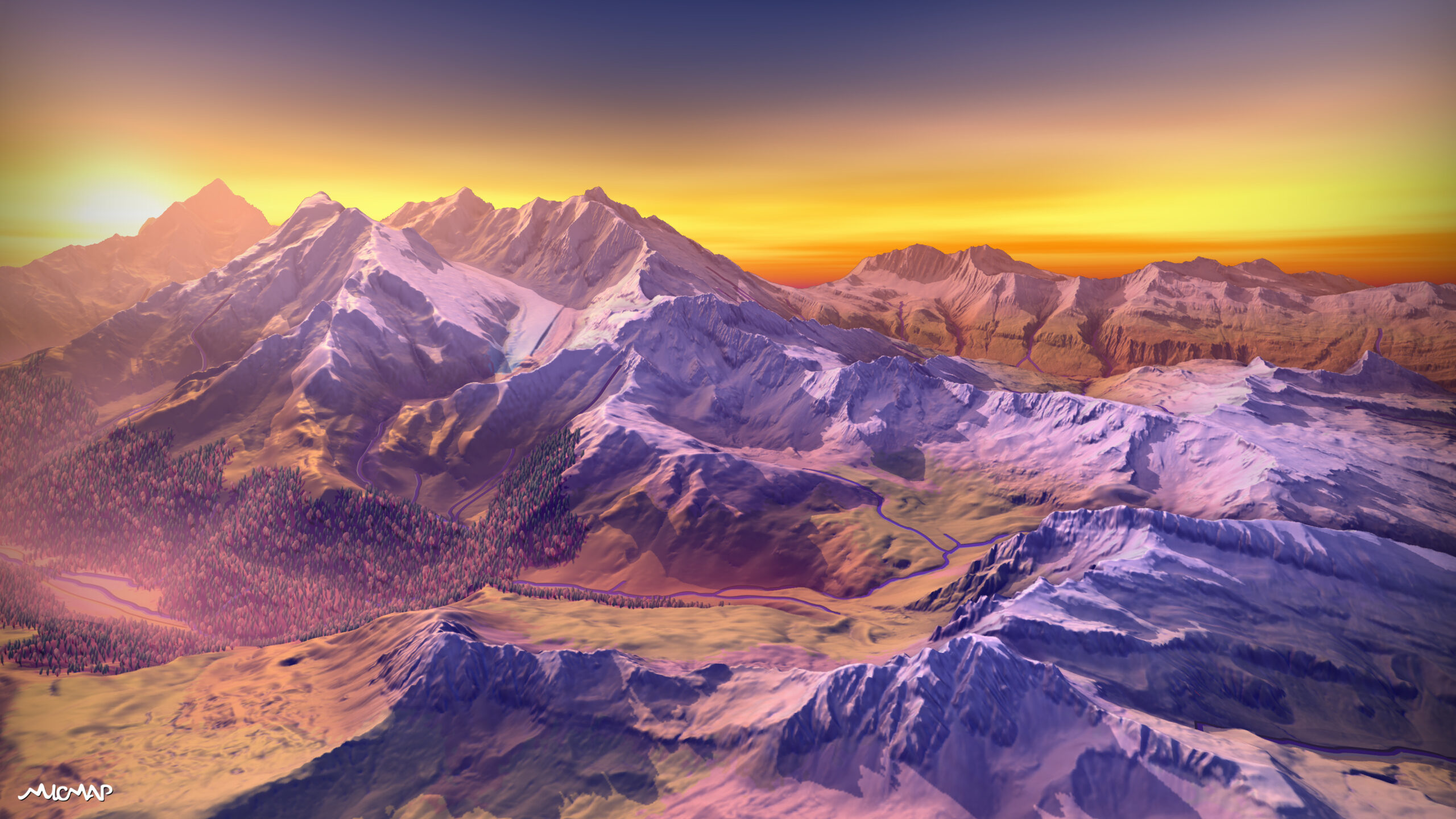
landscapes
map backgrounds
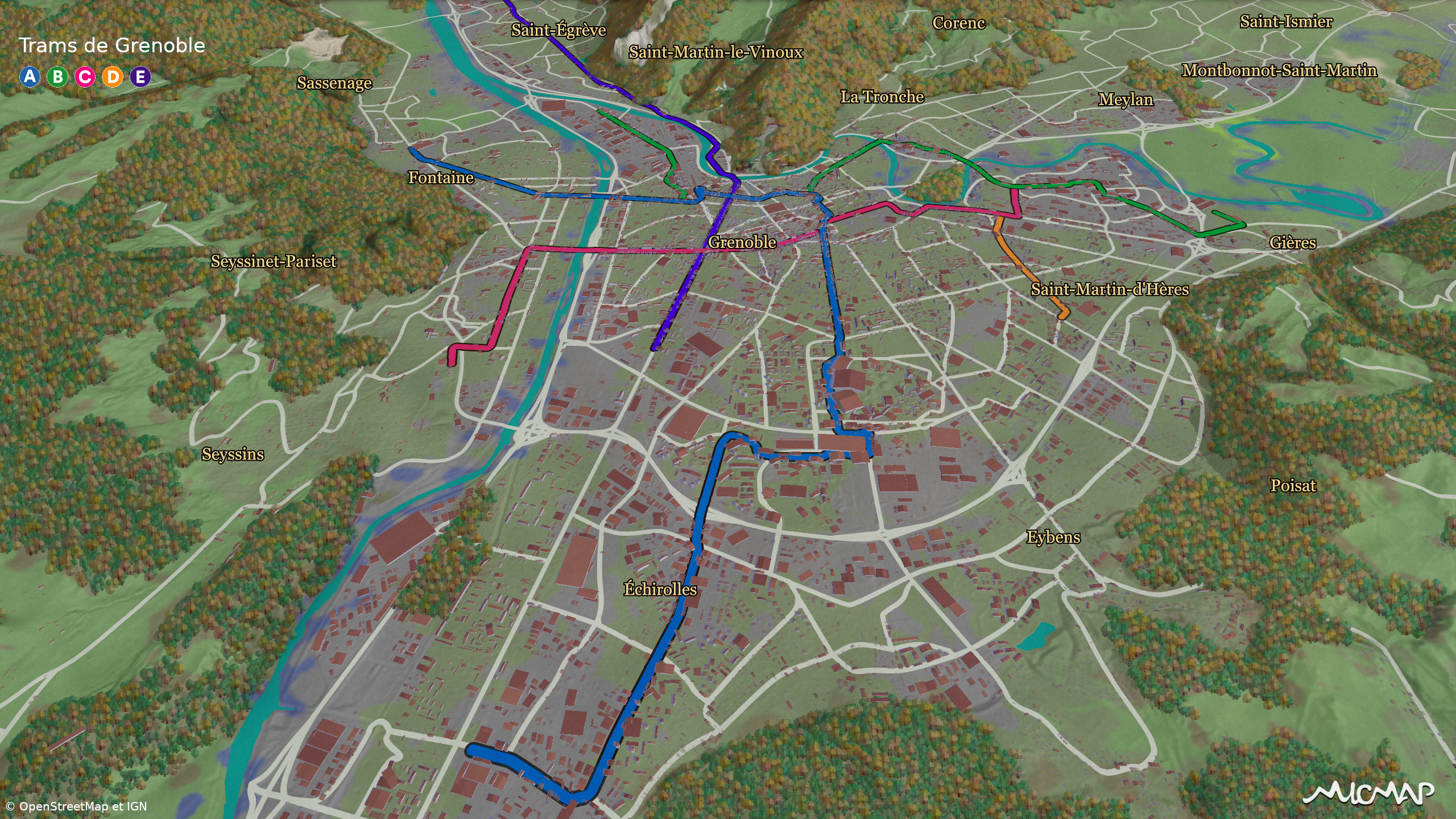
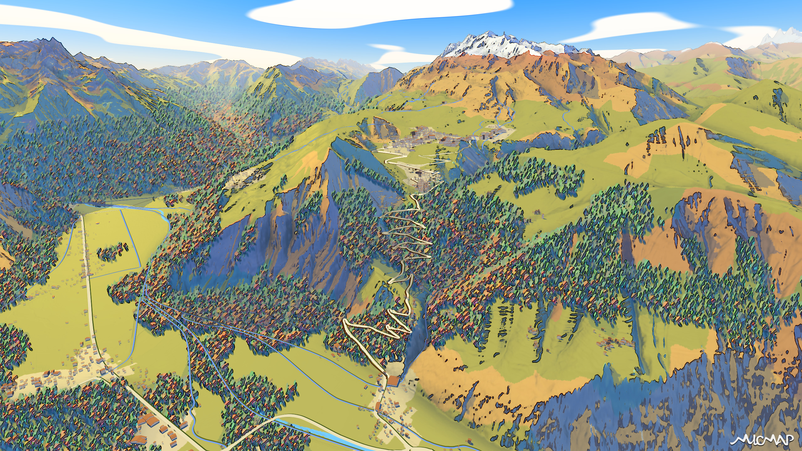
runs and hikes
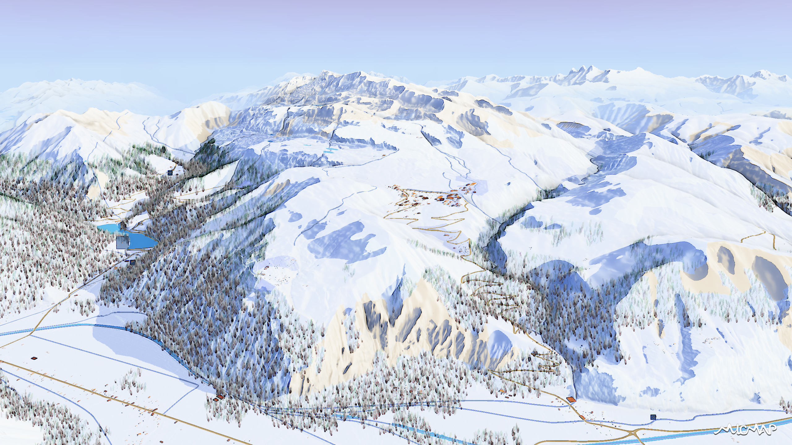
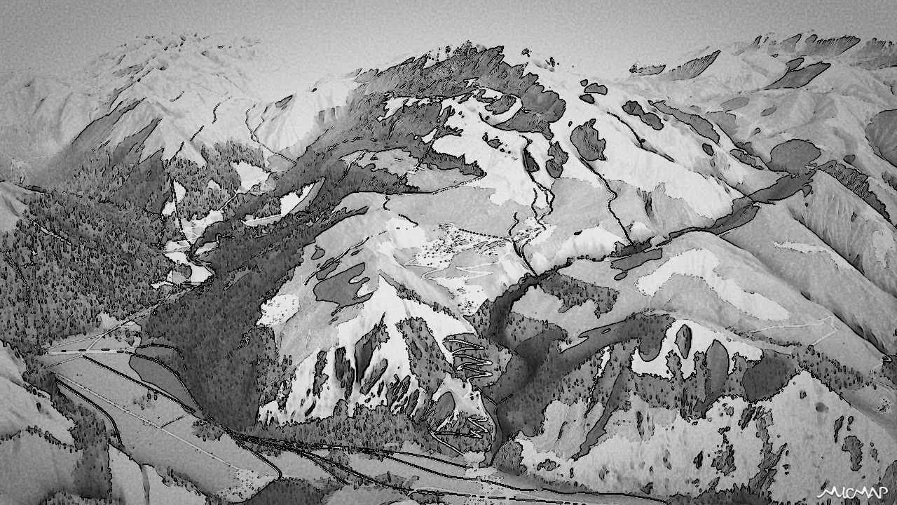
It's difficult to get an idea of what awaits runners on the OpenStreetMap view!
Lakes, scree slopes, a forest trail, sure! But it looks pretty flat...
Without 3D, where are the impressive passes and peaks of the massif, the snowfields?
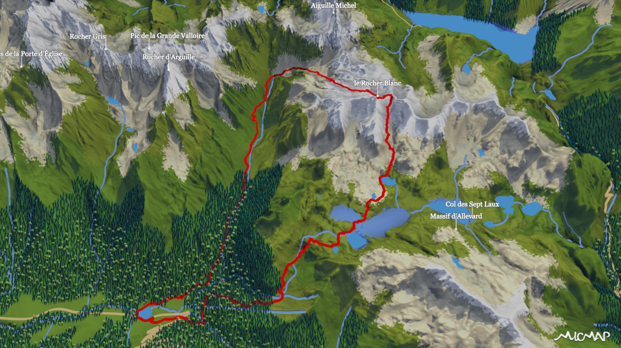
The 3D micmap map reintroduces all the elements essential to understanding the terrain.
And it's a great way to recall the race once you're cozy at home.
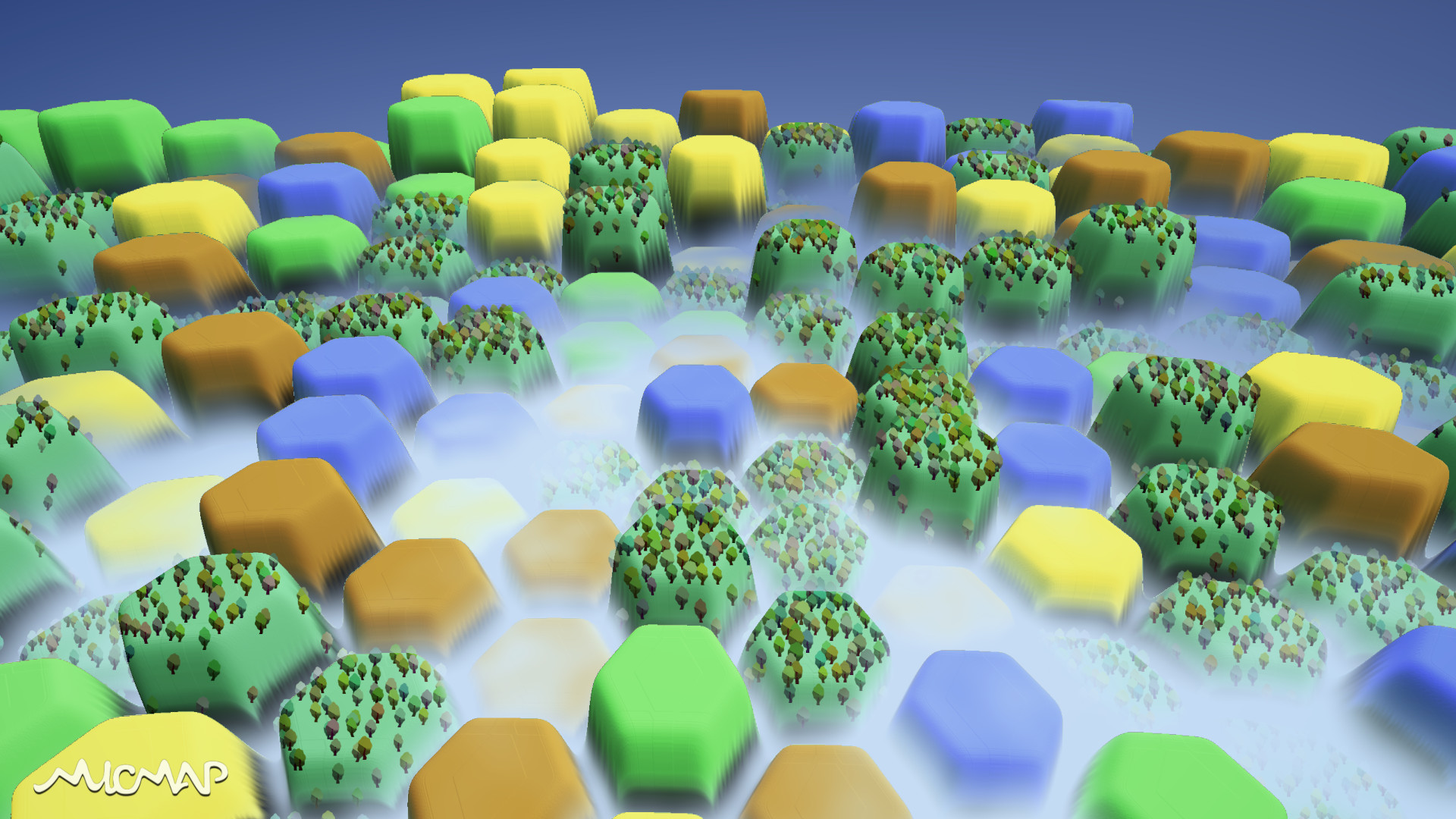
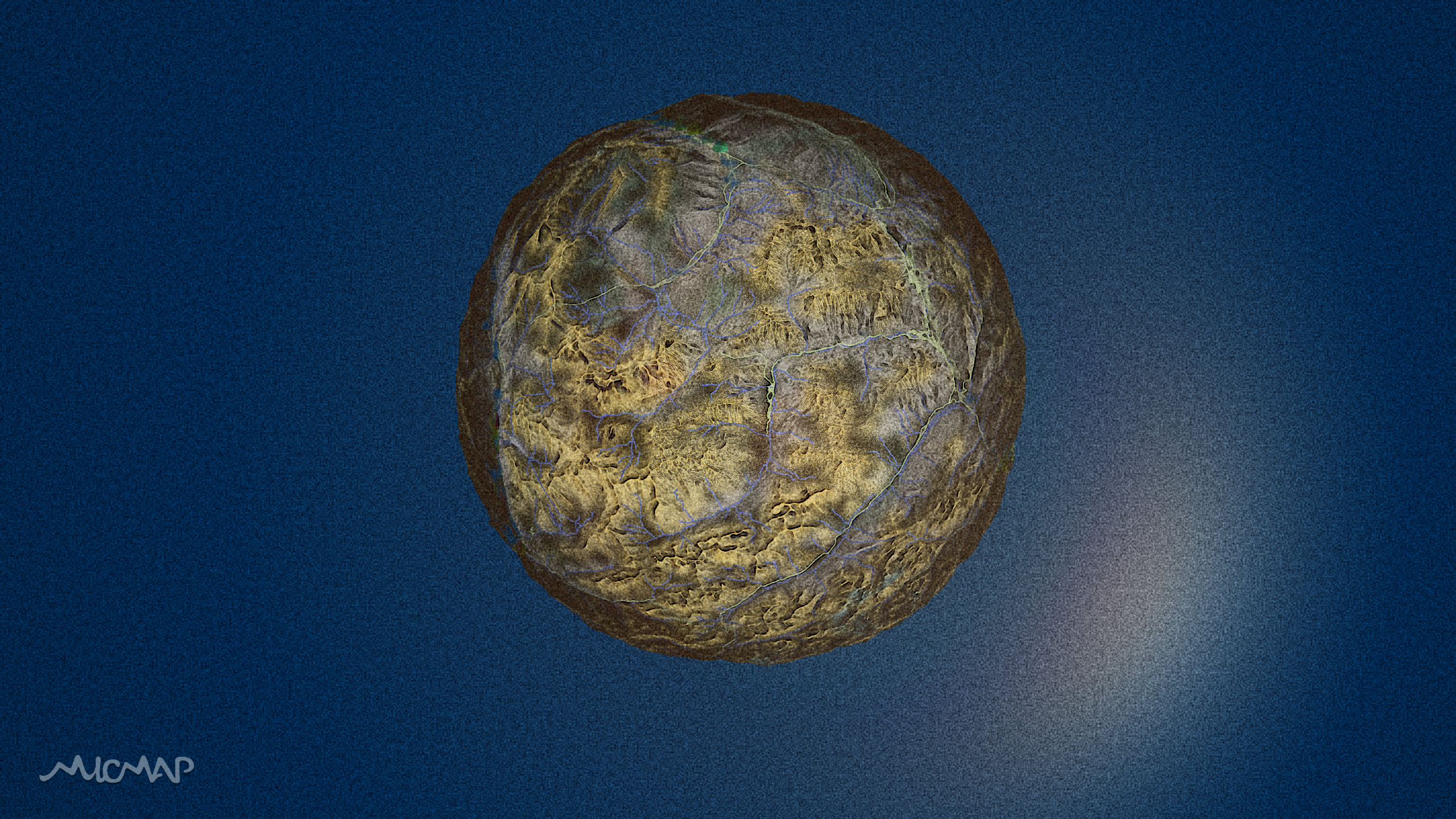
#30DayMapChallenge
We took up the challenge: one map per day throughout November...
It wasn't easy, but it allowed us to develop a variety of technical and artistic tools that we wouldn't have thought of without these thematic constraints!